Overview of Aerial Property Photography
Aerial property photography involves capturing images of real estate properties from an elevated perspective using specialized aerial imaging equipment. This method provides a comprehensive view of a property’s exterior, surrounding environment, and landscape features, making it an invaluable tool in modern real estate marketing. In Miami’s dynamic real estate landscape, where waterfront properties, sprawling estates, and urban developments coexist, aerial photography offers a distinctive advantage. It enables potential buyers to appreciate the full scope of a property, including backyard size, proximity to waterways, and neighboring amenities, all from a bird’s-eye view.
The technological advancements in drone cameras and aerial imaging tools have revolutionized how property professionals showcase listings. Aerial photography captures high-quality, detailed visuals that traditional ground-based photos cannot achieve, allowing real estate agents, developers, and property owners to stand out in competitive markets. Miami’s real estate industry, characterized by its vibrant neighborhoods and luxurious waterfront developments, heavily relies on aerial imagery to attract discerning buyers.
By providing dynamic, wide-angle shots and cinematic views, aerial property photography enhances marketing materials, draws increased interest, and accelerates sales processes. It also plays a significant role in virtual tours, promotional videos, and online property listings, where first impressions greatly influence buyer engagement. As Miami continues to grow as a global real estate hub, incorporating aerial photography into property marketing strategies has become an essential element for success.
Types of Aerial Photography Equipment and Techniques
Choosing the right equipment and techniques is essential to capturing stunning aerial property images that effectively showcase a property's unique features. A variety of tools are used by professionals in the field, each suited for different objectives and environments.
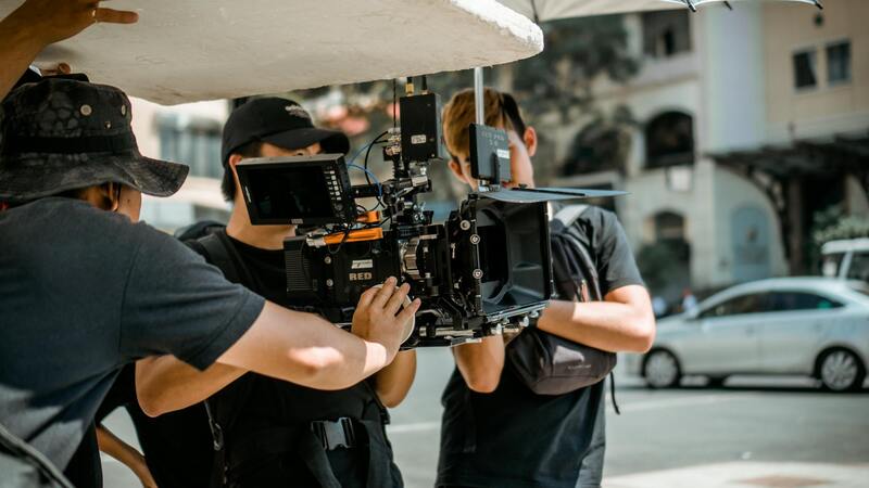
Drone technology is predominant in aerial property photography due to its versatility, mobility, and ability to capture high-resolution images from various altitudes and angles. Modern drones equipped with advanced stabilization systems ensure sharp, clear visuals even in windy conditions or complex environments.
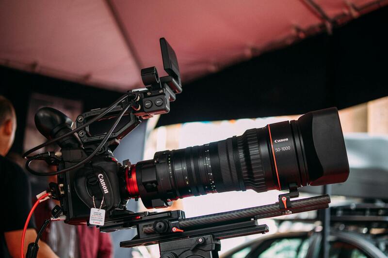
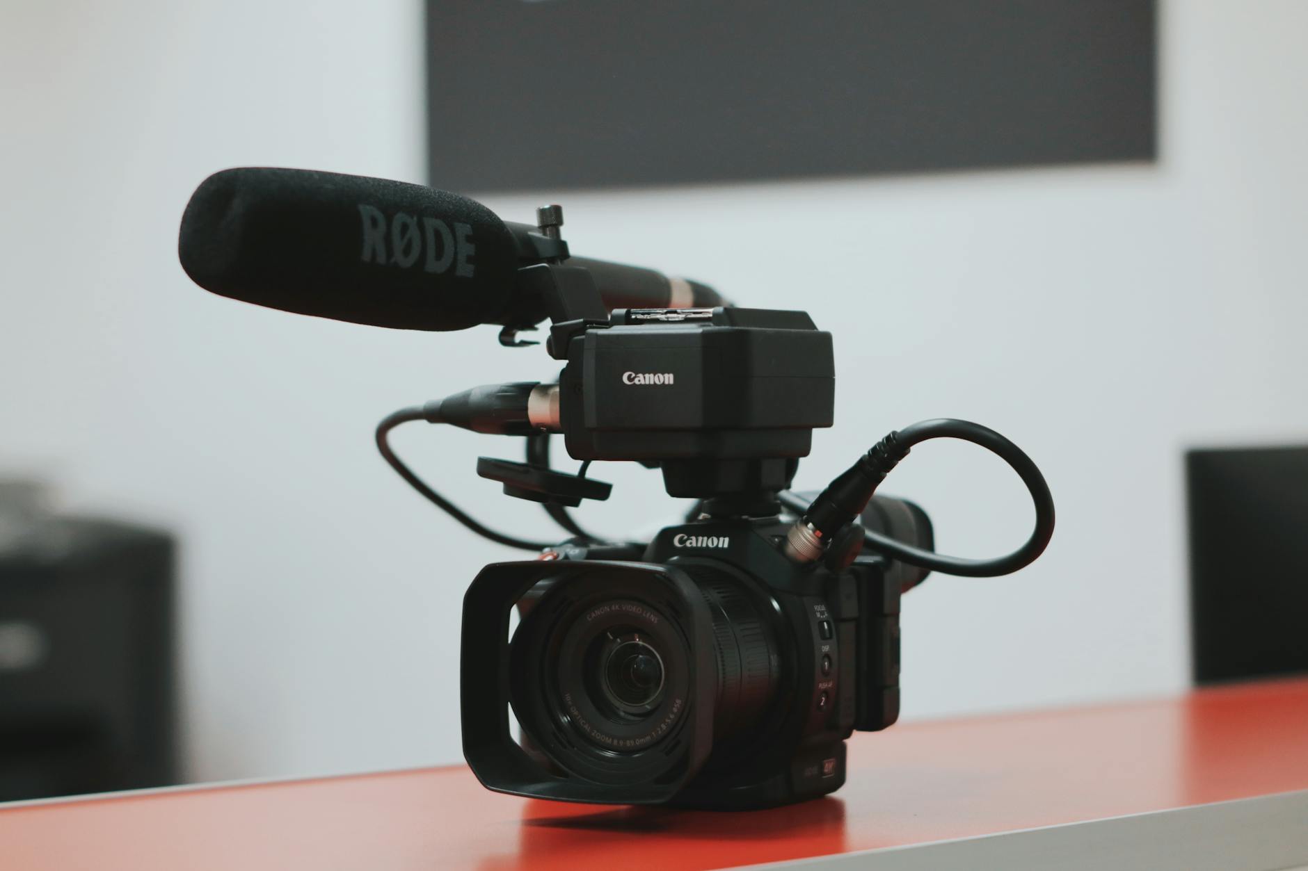
Camera selection plays a crucial role. High-quality DSLR or mirrorless cameras with wide dynamic ranges and high-resolution sensors are preferred for their ability to produce detailed images that can be used in various marketing formats. Additionally, gimbal stabilization systems are employed to maintain camera steadiness during flight, resulting in smooth, professional footage.
Several flight techniques are utilized to optimize each shot. Overhead shots are ideal for demonstrating property layout, surrounding amenities, and landscape features, while oblique angles add depth and perspective to highlight architectural details. Advanced operators often employ automated flight paths and waypoint navigation to ensure consistency and precision in capturing multiple images or videos from different vantage points.
Applying techniques such as high dynamic range (HDR) imaging allows capturing details in both shadows and highlights, resulting in well-balanced images. Time-of-day considerations—such as golden hour or blue hour—are also critical, as natural lighting can dramatically enhance visual appeal and bring out features that might not be visible in harsh midday sun.
Some professionals utilize specialized filters or post-processing tools to adjust color balance, contrast, and sharpness, ensuring each image meets the desired aesthetic and marketing standards. Additionally, multi-spectral imaging techniques are sometimes employed for advanced property analyses, although their use is more common in land surveys and environmental assessments.
Integrating these different equipment types and techniques allows real estate professionals and property owners to generate compelling visual content that resonates with potential buyers, providing a comprehensive understanding of the property's external environment and architectural beauty.
Types of Aerial Photography Equipment and Techniques
When selecting equipment for aerial property photography, the most prevalent tool is a high-quality drone equipped with a stabilized camera system. These drones often feature GPS and autonomous flight capabilities, enabling precise navigation along pre-programmed flight paths and waypoint missions. This automation facilitates capturing consistent images from multiple angles and altitudes, ensuring comprehensive coverage of the property.
Advanced drone platforms utilize sensors with high-resolution imaging capabilities, often exceeding 20 megapixels, to produce sharp and detailed visuals. These cameras are sometimes fitted with adjustable apertures and filters to adapt to different lighting conditions, optimizing image clarity. Multi-axis gimbals are integral for maintaining stability during flight, minimizing motion blur and ensuring clear shots even in moderate wind conditions.
Beyond drones, helicopters and fixed-wing aircraft can be employed for larger-scale properties or extensive land parcels. While these methods might involve more logistical planning and cost, they are suited for capturing images from higher altitudes or over larger areas that are beyond the reach of typical consumer drones.
Techniques such as oblique and nadir (straight downward) shooting optimize the clarity and context of property images. Oblique shots, taken at an angle, reveal architectural details and provide depth perception, whereas nadir images are ideal for showcasing property layout, landscaping, and surrounding features from above. Many professionals use automated flight planning tools that allow the creation of complex flight scripts, ensuring consistent and repeatable image capture from multiple vantage points.
HDR imaging is frequently applied to enhance the dynamic range of aerial photos, bringing out detail in both shadowed and brightly lit areas. When the natural light is favorable, shooting during the golden or blue hour adds warmth and visual appeal, highlighting property features with natural lighting effects. Post-processing software further refines images by adjusting contrast, sharpness, and color balance, resulting in polished marketing materials ready for client presentation.
Types of Aerial Photography Equipment and Techniques
Understanding the variety of equipment and methods used in aerial property photography is essential for capturing high-quality images that effectively showcase a property’s features. The selection of tools depends on the scale of the property, desired image detail, and specific marketing objectives. Among the most common and effective equipment are multi-rotor drones, fixed-wing aircraft, and even traditional helicopters for larger projects.
Consumer-grade drones are widely used for residential listings and smaller commercial properties, owing to their affordability, maneuverability, and ability to capture detailed imagery at lower altitudes. These drones are equipped with high-resolution cameras capable of capturing both still photos and dynamic video footage, including 4K resolutions and advanced stabilization features to ensure clear, sharp images. Automated flight planning software allows operators to design precise flight paths and execute multiple passes, ensuring coverage of the entire property and surrounding areas.
For more extensive properties, such as sprawling estates, agricultural land, or commercial complexes, professionals may opt for larger unmanned aircraft systems or traditional aircraft like helicopters. These methods enable capturing from higher altitudes and larger perspectives, providing comprehensive overviews that are especially useful in real estate marketing, land surveying, and planning presentations. Though more resource-intensive, they produce expansive images ideal for large-scale visual documentation.
Techniques for Optimal Aerial Property Imaging
Employing the right shooting techniques enhances the impact and utility of aerial imagery. Two primary approaches are oblique and nadir photography.
- Oblique Photography: Images captured at an angle reveal architectural details and provide a sense of depth. Oblique shots can showcase building facades, roof designs, and landscape features from various vantage points, adding richness and context to the visual presentation.
- Nadir Photography: Shooting directly downward offers a comprehensive view of the property layout, landscaping, driveways, and surrounding features. This perspective is particularly useful for mapping property boundaries or illustrating site plans in marketing materials.
Advanced flight planning tools and automation enable consistent image capture, allowing operators to create complex flight scripts. These scripts ensure systematic coverage and capture images from multiple angles and altitudes. Additionally, techniques such as high Dynamic Range (HDR) imaging refine photo quality, balancing shadowed regions with brightly lit areas to produce balanced and detailed visuals. Timing the shoot during optimal natural lighting conditions, like the golden or blue hour, enhances visual warmth and appeal. Post-processing adjusts contrast, sharpness, and color tone, resulting in polished images that accurately represent the property’s features.
Types of Aerial Photography Equipment and Techniques
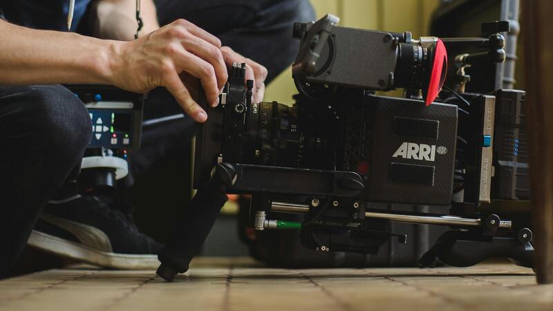
Effective aerial property photography relies on a variety of specialized equipment designed to capture high-quality images from different altitudes and angles. Drones equipped with high-resolution cameras are increasingly popular for their versatility and cost-effectiveness, enabling filmmakers and real estate professionals to achieve stable, detailed shots without the need for traditional aircraft. These drones often come with advanced stabilization systems, such as gimbal mounts, which ensure smooth footage even in challenging conditions.
Fixed-wing aircraft and helicopters are traditional options for larger-scale projects or extensive coverage areas. They offer higher endurance and can cover more ground in a shorter amount of time, making them suitable for capturing broad property portfolios or extensive estate landscapes. These aircraft are often equipped with professional-grade camera systems capable of shooting in high dynamic range (HDR), ensuring detailed imagery with balanced exposure across various lighting conditions.
In terms of techniques, flight planning is vital to ensure consistent, comprehensive coverage of the property. Automated flight paths can be programmed to systematically photograph the site from multiple angles and heights, providing comprehensive perspectives that highlight architectural features and landscape elements. This planning minimizes shadow interference and assures optimal lighting conditions, especially during times known as the golden or blue hours, when natural light enhances visual appeal.
Advanced imaging techniques like HDR are utilized to balance exposure levels across the photograph, capturing details in shadowed areas alongside bright highlights. This approach is particularly useful for properties with complex lighting environments or where a stark contrast exists between shaded and sunlit areas. Post-processing workflows further enhance these images, correcting color balance and sharpness to produce crisp, professional visuals.
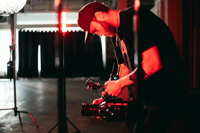
Flight safety protocols, such as pre-flight checks and adherence to drone operation guidelines, are integral components of aerial photography. These measures safeguard the equipment, the environment, and those in the vicinity, ensuring smooth operations and high-quality results. Employing a combination of strategic flight planning and sophisticated imaging technology allows for capturing dynamic, detailed aerial views that effectively showcase the unique features of each property.
Legal and Safety Considerations in Miami
In the vibrant Miami real estate market, capturing aerial property images requires meticulous attention to established protocols to ensure smooth and responsible operations. Adhering to designated flight zones and respecting privacy boundaries is fundamental to preserving the integrity of the aerial photography process. This involves thoroughly understanding local regulations and obtaining necessary permits for drone flights over private and public properties alike.
Pre-flight planning includes comprehensive site assessments to identify potential obstacles, such as nearby structures, power lines, and restricted airspace areas. This proactive approach minimizes risks associated with drone navigation and enhances safety for both operators and bystanders. Conducting detailed weather evaluations ensures flights are performed under suitable conditions, reducing hazards caused by wind, rain, or low visibility.
Operators must also comply with adherence guidelines that outline safe drone operation practices, including maintaining line-of-sight with the drone, avoiding aggressive maneuvers, and respecting altitude restrictions. These guidelines uphold a safe environment for all involved while enabling high-quality image capture.
In Miami, a dynamic city with diverse landscapes and high-rise developments, understanding local airspace restrictions is crucial. Certain zones may have temporary or permanent flight bans, especially around sensitive areas such as airports, government buildings, or crowded public spaces. Staying informed about these restrictions ensures aerial photography activities proceed without interruptions or violations.
Safety extends beyond compliance; it’s about fostering a responsible aerial photography environment that prioritizes the well-being of the community and the facilitators. Implementing robust safety protocols, such as routine equipment checks, thorough pre-flight inspections, and emergency procedures, contributes to seamless operations and maintains image quality. Additionally, engaging certified and experienced drone pilots helps ensure adherence to all safety standards and best practices, creating a reliable foundation for every project.
By meticulously managing legal and safety considerations, professionals can deliver stunning visual content while upholding the highest standards of responsibility. This approach not only enhances the credibility of the service provider but also assures clients that their properties are showcased with integrity and precision.
Understanding the Equipment and Techniques Utilized in Aerial Property Photography
To achieve high-quality aerial property images, professionals employ a range of sophisticated equipment and techniques tailored to capture the unique features of each property. These tools not only facilitate clear, detailed visuals but also ensure versatility to adapt to varying environmental conditions and property types. A comprehensive grasp of these technologies enables photographers to produce compelling imagery that effectively highlights property features, enhances marketability, and appeals to prospective buyers or tenants.
Types of Aerial Photography Equipment
- Unmanned Aerial Vehicles (UAVs) or Drones: The most commonly used equipment in modern aerial property photography, drones offer maneuverability, cost-efficiency, and high-resolution imaging capabilities. They come equipped with stabilized cameras that allow for smooth, professional-grade footage and still images. Advanced drone models feature GPS-assisted flight, obstacle avoidance, and automated flight paths, which help in capturing consistent and comprehensive coverage of the property.
- Handheld and Pole-mounted Cameras: In some cases, especially around restricted zones or when detailed close-ups are needed, professional photographers may deploy camera stabilization systems mounted on poles or extendable rigs. These methods can complement drone shots, providing additional angles and view points that might be challenging to access via drone.
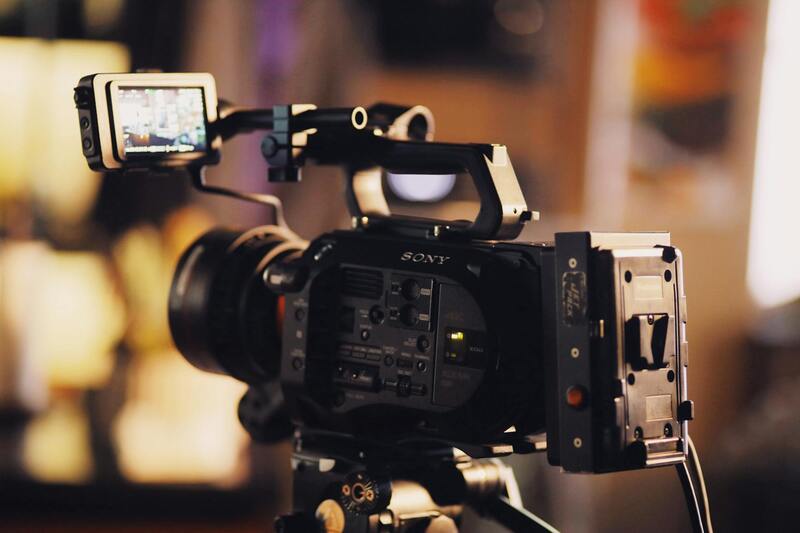
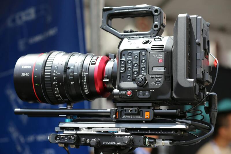
- High-Resolution Cameras: The quality of the imagery hinges on the camera's resolution. Aerial photography systems often incorporate cameras capable of capturing 24 megapixels or more, enabling detailed images that facilitate zooming, cropping, and post-processing without sacrificing clarity.
- Gimbals and Stabilizers: To avoid shaky footage common with handheld cameras or drones in windy conditions, gimbals and stabilization systems are essential. They keep the camera steady during flight, delivering crisp, clean images vital for professional marketing materials.
Techniques for Effective Aerial Photography
- Pre-Flight Planning: Successful aerial shoots begin with meticulous planning. This involves scouting the property layout, identifying optimal flight paths, and noting environmental factors that might impact image quality or flight safety. Utilizing specialized software or mapping tools can help streamline this process.
- Optimal Flight Altitude and Angles: Different altitudes and angles reveal various aspects of a property. For instance, higher elevations showcase the entire property layout, proximity to landmarks, and neighborhood context, while lower altitudes highlight architectural details. Vertical shots can emphasize lot size and landscaping, whereas oblique angles can add dynamic perspectives.
- Time of Day and Lighting: The quality of natural light significantly influences image clarity and color accuracy. Shooting during golden hour—shortly after sunrise or before sunset—reduces harsh shadows and creates warm, inviting visuals. Overcast days can also produce diffuse lighting, minimizing glare and reflections.
- Post-Processing Enhancements: After capturing images, professional editing tools can enhance colors, correct exposure, and straighten images. Techniques like HDR imaging combine multiple exposures to preserve details in bright and dark areas, producing balanced images suitable for marketing purposes.

Official Approaches to Aerial Property Photography in Miami
Obtaining high-quality aerial images of property in Miami involves leveraging reputable methods supported by established platforms and standards. Professional drone operators with certification and adherence to industry guidelines utilize advanced equipment to deliver visually compelling and accurate representations of real estate assets. These practitioners often work with licensed unmanned aircraft systems (UAS) and employ sophisticated imaging technology that ensures sharp, distortion-free results across different lighting and weather conditions.
The process begins with detailed planning and assessment of the property, considering aspects such as size, layout, and surrounding environments. Operators employ state-of-the-art drones equipped with high-resolution cameras capable of capturing detailed aerial footage from various angles and heights. This allows for comprehensive imaging that highlights not only the property’s architecture but also its relationship with the neighboring areas, landscape features, and accessibility points.
An essential component of legitimate aerial property photography involves meticulous execution of pre-flight procedures, including obtaining necessary permits, navigating flight paths that avoid restricted zones, and scheduling shoots during optimal lighting conditions. These aspects contribute to producing images that are both visually striking and compliant with local airspace policies.
Equipment-wise, professionals utilize drones with stabilized gimbal systems, enabling steady footage even in windy conditions. Cameras may include multiple lenses for wide-angle and zoom shots, thereby offering flexibility in capturing comprehensive property visuals. Post-flight, images undergo organized processing, utilizing industry-standard editing software to enhance clarity, correct color balance, and prepare images for various marketing platforms.
The importance of a collaborative approach is emphasized through the engagement of licensed aerial photographers who possess extensive field experience and technical expertise. This guarantees that each project adheres to the precise specifications required for high-stakes real estate marketing, ensuring consistency and quality in delivery.
By choosing experienced providers that follow structured procedures, property owners and marketers can confidently showcase their listings through compelling aerial imagery that accurately reflects the property’s features and its unique setting within Miami’s vibrant landscape. This official approach not only enhances visual appeal but also ensures alignment with regulatory standards, fostering trust and credibility.