Overview of Aerial Property Photography
Aerial property photography has revolutionized the way real estate is marketed by providing expansive and detailed views of properties from a bird's-eye perspective. Utilizing advanced aerial imaging techniques, this form of photography captures sprawling estates, waterfront properties, commercial complexes, and land developments in their entirety, offering potential buyers and investors an unprecedented visual insight. Unlike traditional ground-level photos, aerial imagery encompasses the entire property, including surrounding landscaping, neighboring structures, and proximity to local amenities, which can be critical in decision-making processes.
This specialized photography leverages both technological advancements and sophisticated equipment to deliver high-resolution images that enhance a property’s visual appeal and perceived value. The primary objective of aerial property photos is to showcase property features that are often hidden or difficult to capture at ground level. These images serve not only as marketing tools but also as comprehensive visual documentation that highlights the unique attributes and geographic context of a property.
In the realm of real estate marketing, aerial property photos stand out for their ability to create impactful visual narratives. They enable potential buyers to grasp the full scope of a property’s size, layout, and surrounding environment with clarity and precision. By providing a perspective unattainable through traditional photography, these images enhance online listings, brochures, and virtual tours, making properties more attractive and engaging to prospective clients.
Advances in drone technology have democratized aerial photography, enabling professionals to capture images that are both remarkably detailed and cost-effective. These images are often used by real estate agents, developers, and land planners to convey layout, access points, landscape features, and environmental context, which are crucial factors in property valuation and marketing strategies.
Compared to traditional ground photography, aerial property photos offer a broader perspective that can significantly influence buyer perception and engagement. They are particularly effective in showcasing properties with extensive land, waterfront locations, or unique topographical features. As the demand for high-impact visual content grows, aerial photography continues to evolve, integrating innovative techniques that provide a competitive edge in the crowded Miami real estate market.
Legal and Permitting Considerations in Miami
Conducting aerial property photography within Miami necessitates adherence to local regulations and established protocols to ensure seamless operations. Professionals in the field typically navigate these requirements by securing necessary permits from municipal authorities. These permits are essential when operating in specific zones, especially those designated as restricted or sensitive areas, to prevent interference with airspace and maintain residents' privacy. In Miami, aerial photographers often coordinate with city agencies and property owners to verify compliance with established guidelines. This includes adhering to altitude restrictions, operational hours, and maintaining safe distances from public infrastructure, such as airports, heliports, and densely populated neighborhoods. Having clear documentation of permissions and adhering to written regulations ensures the integrity of an aerial shoot. Professionals also conduct pre-flight assessments to identify potential obstacles and risks, such as tall structures, power lines, or wildlife habitats, which could impact flight safety or image quality. Importantly, respecting residents' privacy rights involves avoiding intrusive images of private property or individuals without consent. Working with licensed drone operators and obtaining the relevant clearances guarantees that aerial photography activities are carried out responsibly and legally within Miami’s regulatory framework. Proper planning and compliance not only foster smooth execution but also strengthen credibility with clients, showcasing an ethical commitment to industry standards and community respect.
Types of Aerial Equipment and Photography Techniques
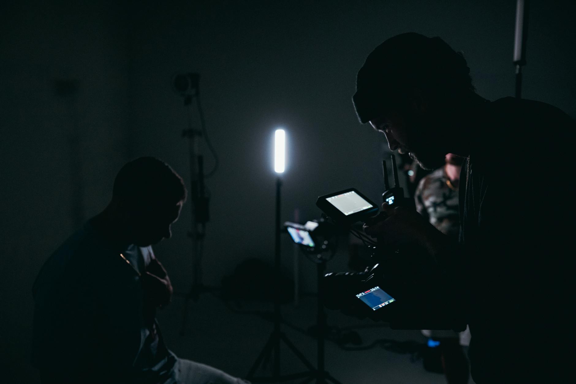
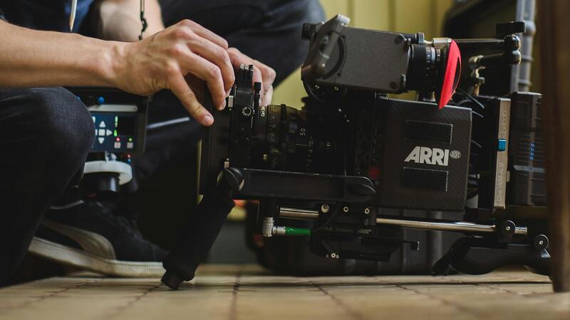
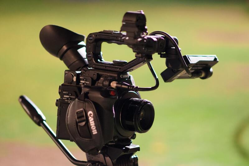
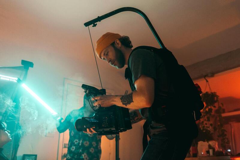
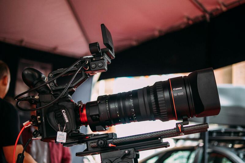
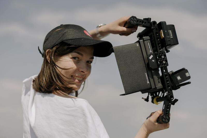
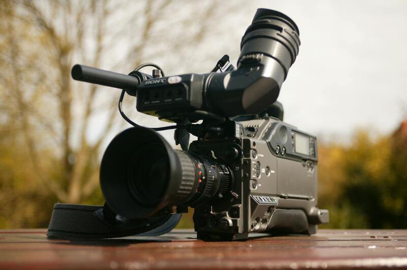
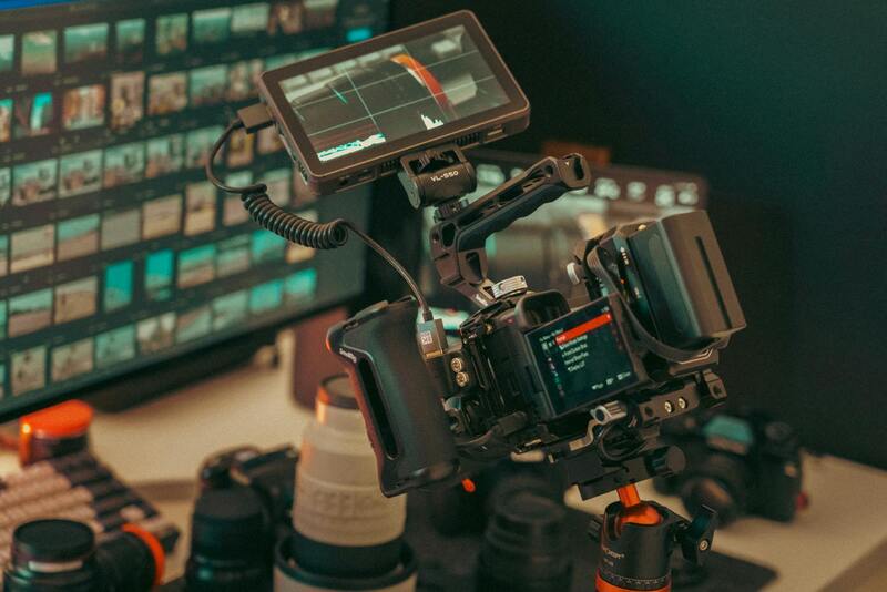
To capture compelling aerial property photos, professionals utilize a diverse range of equipment and techniques tailored to meet specific project needs. Drones equipped with high-resolution cameras are the most prevalent tools today, offering versatility, precision, and cost-effectiveness. These unmanned aerial vehicles (UAVs) are capable of capturing images from various altitudes and angles, providing clients with comprehensive views of their properties.
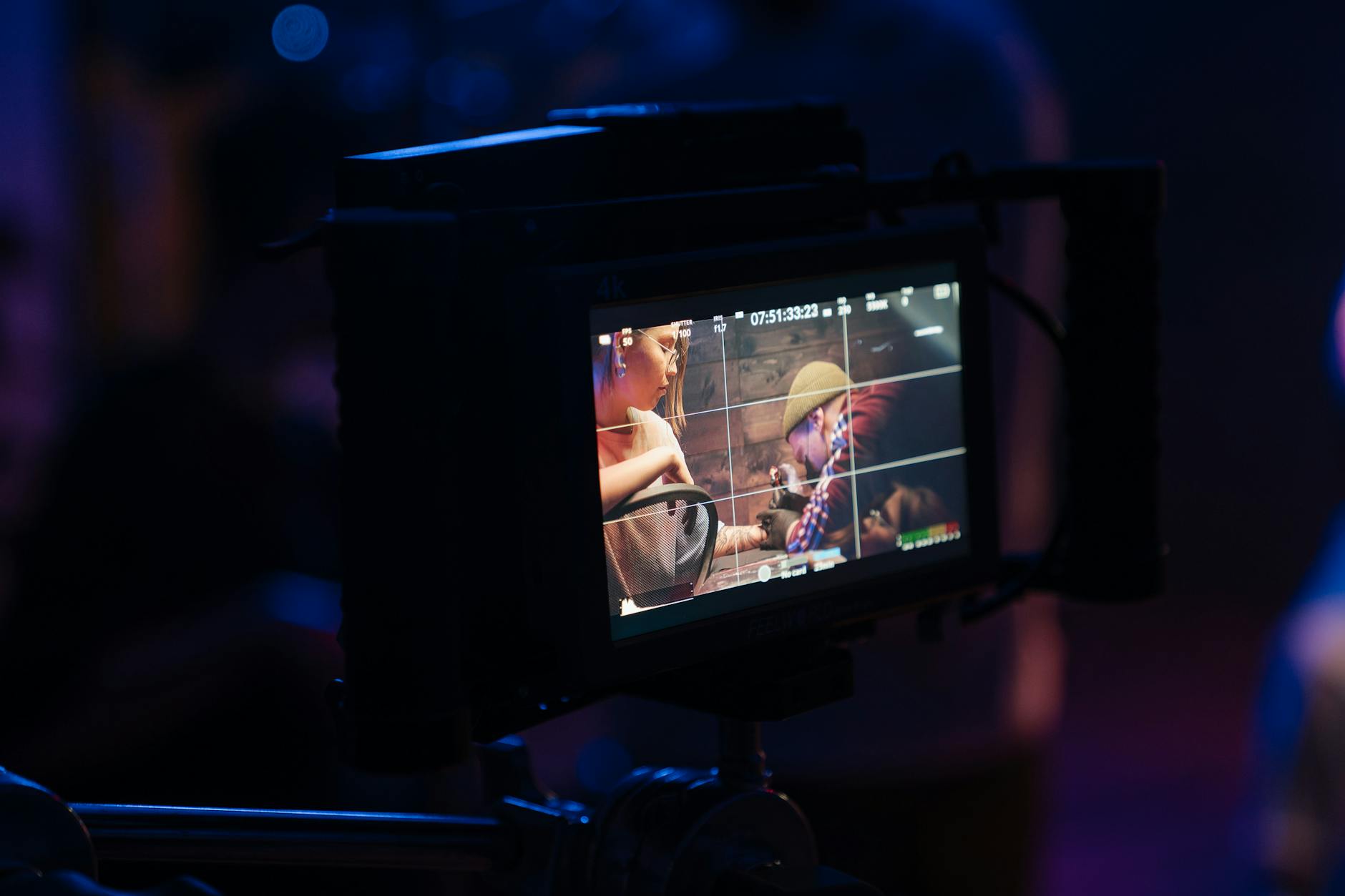
Camera quality plays a crucial role in the quality of aerial images. Professional-grade cameras with large sensors and adjustable lenses are preferred, as they deliver superior detail and color accuracy. Additionally, employing gimbals and stabilization systems ensures that images are free from blurring caused by drone movement or wind vibrations, resulting in smooth, high-quality visuals.
Techniques such as HDR (High Dynamic Range) imaging enhance photos by balancing light exposures, especially in environments with contrasting shadows and highlights. Panoramic stitching and 3D modeling are advanced methods used to create immersive views and detailed property renderings. These techniques not only showcase the property’s aesthetics but also provide potential buyers with an engaging virtual experience.
Choosing a Professional Aerial Photography Service
Selecting a qualified aerial photography provider involves evaluating their technical expertise, safety record, and portfolio of past work. A reputable company will possess FAA or equivalent certification and maintain modern, reliable equipment to ensure safety and image quality. Experience in real estate projects is a valuable indicator of their ability to frame properties attractively and adhere to relevant regulations.
Effective communication prior to the shoot ensures clarity on desired angles, specific features to highlight, and any restrictions. Clear understanding of the project scope allows the service provider to recommend optimal equipment and techniques, thereby maximizing the visual appeal of the property. Additionally, professional companies emphasize post-processing to enhance images—adjusting lighting, removing distractions, and creating compelling visuals that resonate with prospective buyers.
Best Practices for Capturing Aerial Property Photos
Achieving striking aerial images requires careful planning and execution. Optimal weather conditions, such as clear skies and low wind speeds, are fundamental to obtaining sharp, high-quality photos. Scheduling shoots during golden hour—shortly after sunrise or before sunset—adds warm, natural lighting that enhances the property’s appeal.
Camera settings should be adjusted for clarity and depth of field, with a focus on sharpness and accurate color reproduction. Multiple shots from different angles and elevations create a comprehensive visual narrative, making it easier for viewers to appreciate the property’s layout and features.
Maintaining safe operational distances from public infrastructure, respecting privacy boundaries, and obtaining all necessary permissions are integral to professional aerial photography. Post-shoot editing involves selecting the best images, color correction, and sometimes compositing to highlight the property's most attractive aspects without misleading viewers.
Legal and Permitting Considerations in Miami
Executing aerial property photography in Miami requires adherence to specific procedures designed to ensure safe and respectful operations. While the focus remains on utilizing legitimate methods, understanding the available official channels is essential. Permitting processes involve coordinating with local authorities and regulatory bodies that oversee airspace management, drone operations, and privacy considerations.
One fundamental step involves obtaining the appropriate permissions for drone flights, especially in areas with high traffic or close to sensitive infrastructures. This may entail applying for special permits from municipal authorities, which typically involve submitting detailed flight plans and safety measures. These permits verify that the operation will not interfere with other airspace users or create hazards.
Another critical aspect is respecting no-fly zones, which include airports, military bases, and certain government properties. Miami’s local regulations enforce compliance with designated airspace boundaries, requiring operators to verify the location of each shooting site beforehand. Utilizing official airspace maps, provided by government agencies, helps ensure that all flights occur within permissible areas.
In addition to airspace restrictions, privacy considerations are paramount. Operators should avoid capturing images over private property without consent. This involves thorough planning to respect residents’ privacy and adhering to specific guidelines that protect individuals' rights to their personal space.
For professionals, engaging with certified drone operators and leveraging authorized service providers simplifies the process of navigating tightening regulations. These operators maintain comprehensive knowledge of the current permitting procedures and airspace restrictions, minimizing operational hurdles and ensuring compliance.
By prioritizing official workflows, such as applying for permits, managing flight plans, and respecting privacy zones, aerial property photography in Miami can be executed efficiently, responsibly, and with maximum professionalism. This approach not only enhances the quality and scope of the visuals but also upholds the integrity of the operation within the regulatory framework established by local authorities.
Types of Aerial Equipment and Photography Techniques
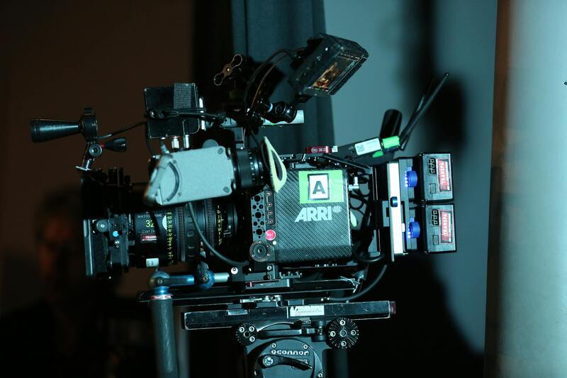
Professional aerial property photography in Miami relies on a diverse array of equipment and advanced techniques to produce high-quality visuals that accurately represent real estate assets. The selection of equipment depends on the desired image quality, project scope, and specific property characteristics.
Unmanned Aerial Vehicles (UAVs), commonly known as drones, are the primary tools used for capturing stunning aerial images and videos. Equipped with high-resolution cameras, these drones can maneuver efficiently around properties, capturing detailed shots from multiple angles and altitudes. Modern drone models often feature gimbal stabilization to ensure steady footage, even in challenging wind conditions, thereby producing clear and professional images.
In addition to standard cameras, some operators utilize 4K video capabilities and HDR imaging to enhance detail and color accuracy, providing potential buyers with visually compelling content. For more expansive property portfolios or commercial real estate, multi-drone setups can be employed to cover larger areas swiftly, maintaining consistent quality across all shots.
Photography techniques vary based on the property's scale and the visual messaging desired. Common methods include isometric shots that showcase property layouts, panoramic views for capturing entire estates, and dynamic videos that highlight curb appeal and surrounding landscapes.
In terms of altitude, professionals carefully select flight heights to balance claimable footage with safety and compliance considerations. Overhead shots from higher elevations provide comprehensive views of property boundaries and neighboring features, while lower angles can emphasize specific landscape elements or architectural details.
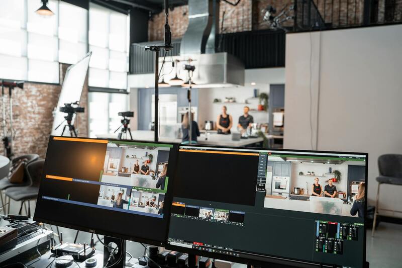
Post-processing plays a vital role in elevating the quality of aerial imagery. Color correction, image stitching, and aerial mapping techniques optimize visual impact and detail. In some cases, software-based enhancements help in creating virtual tours or 3D models, enriching property presentations.
Ultimately, selecting suitable equipment and deploying refined photography techniques results in captivating visuals that boost property appeal, aid marketing efforts, and provide comprehensive visual documentation for Miami real estate clients.
Legal and Permitting Considerations in Miami
In Miami, executing aerial property photos involves adherence to specific protocols to ensure aerial photography is conducted responsibly and within regional frameworks. Professionals engaged in drone photography or other aerial methods often coordinate with local authorities to secure necessary permissions before initiating flight operations. This includes understanding restricted zones, such as near airports, government facilities, or private properties with designated no-fly zones, to prevent disruptions and maintain public safety.
Obtaining operational clearances typically involves submitting flight plans that detail the specific areas to be surveyed, the times during which flights will occur, and the equipment to be used. These plans are reviewed by relevant municipal aviation or transportation authorities, ensuring that aerial activities align with regional safety standards. Additionally, drone operators are often required to hold certifications that demonstrate their capability to operate safely within legal bounds.
Compliance with local regulations also necessitates respecting privacy concerns. When capturing aerial images of private residences or commercial properties, operators may need to notify property owners or obtain consent, especially when flights involve low altitudes or close proximity to structures. Maintaining transparency with property owners and ensuring respectful distances are critical components of responsible aerial photography practice.
By adhering to these guidelines, aerial photographers can avoid potential disruptions, legal challenges, or image quality compromises. This collaborative approach fosters trust between photographers and the community, supporting the creation of high-quality visuals that comply with regional standards while simultaneously elevating property marketing efforts.
Proper Equipment and Techniques for Aerial Photography
Utilizing the right equipment is fundamental to capturing high-quality aerial property photos that effectively showcase the property’s features and surroundings. Modern aerial photography primarily relies on advanced drone units equipped with high-resolution cameras capable of capturing detailed images from multiple angles. These drones often feature gimbal stabilization systems, which mitigate vibrations and camera shake, resulting in crisp, professional images even in challenging conditions. In addition to drones, lightweight, portable aerial platforms such as helicopters and small aircraft are used for large-scale or specialized imaging, especially when higher altitude or broader coverage is necessary. These methods, managed by experienced operators, allow for diverse shooting angles and perspectives that unearth the full potential of a property. When selecting camera equipment, professionals prioritize camera sensors with high megapixel counts, wide dynamic range, and superior low-light performance. These specifications ensure images remain clear and vibrant under various lighting conditions. Pairing this with techniques like HDR photography—combining multiple exposures—further enhances image detail and depth. Optimum flight planning also plays a crucial role in successful aerial photography. This involves determining the best routes, altitudes, and timings to capture the property in ideal lighting conditions and from the most flattering angles. Flight stabilization technologies and GPS systems assist in maintaining steady, precise shots, especially over complex terrains or architectural structures. Incorporating these advanced tools and methods supports the creation of compelling visual narratives that can significantly elevate marketing efforts, appeal to prospective buyers, and highlight a property's unique qualities effectively.
Advanced Post-Processing Techniques and Image Optimization for Aerial Property Photos
Achieving high-quality aerial property images extends beyond the initial capture. Post-processing plays a critical role in refining these visuals to ensure they effectively showcase the property's features and appeal to prospective buyers. Professional editing involves a series of precise adjustments designed to enhance clarity, color accuracy, and overall aesthetic appeal.
Raw Image Processing
Starting with high-resolution raw files allows editors to manipulate exposure, contrast, and color grading without sacrificing image quality. Proper tone mapping ensures the final photos have balanced shadows and highlights, revealing details in previously obscured areas, such as shaded facades or sunlit landscapes.
Color Correction and Enhancement
Accurate color representation is vital for compelling property imagery. Color correction ensures that hues, from lush greenery to waterfront waters, appear vibrant yet true to life. Enhancing saturation and sharpness accentuates focal points within the frame, guiding viewers’ attention effectively.
Image Stitching and Panoramas
For expansive property views or detailed site overviews, stitching multiple images can create high-resolution panoramas. This technique provides a comprehensive perspective, allowing viewers to immerse themselves in the property’s environment from varied angles, which is especially beneficial for large estates or properties with extensive grounds.
HDR and Exposure Blending
High Dynamic Range (HDR) processing combines multiple exposures to manage challenging lighting conditions, such as bright skies and shaded ground areas. This results in images with balanced lighting, depth, and highly detailed textures that elevate the visual storytelling.
Optimizing for Web and Print
Finally, optimizing images for different platforms ensures they load quickly online without sacrificing quality. For listings and virtual tours, compressed JPEGs with high visual fidelity are ideal, while print materials benefit from uncompressed, high-resolution formats. Ensuring consistency across all imagery enhances branding and presentation coherence.
Utilizing Aerial Photography Data for Marketing and Property Management
Beyond visual appeal, aerial property photos generate data insights that support various marketing and management efforts. When captured with precise techniques and comprehensive data collection methods, these images can be integrated into multifaceted strategies that drive property visibility and operational efficiency.
Creating Interactive Virtual Tours
Synchronizing aerial imagery with 3D modeling and virtual tour platforms provides immersive experiences for prospective buyers. High-quality aerial shots serve as the foundation for detailed virtual walk-throughs, enabling viewers to explore the property from multiple perspectives without physical visits.
Enhanced Property Valuation and Comparison
Accurate, detailed aerial imagery aids appraisal and comparative market analysis by providing comprehensive visual context of the property's size, layout, and surrounding amenities. This detailed overview assists real estate agents and appraisers in delivering precise valuations and recommendations.
Supporting Land Use Planning and Development
For developers and urban planners, aerial photos facilitate strategic decision-making regarding property boundaries, topography, and site conditions. They provide critical insights for zoning compliance, construction planning, and environmental assessments.
Monitoring Progress and Maintenance
Regular aerial imaging offers a record of construction progress and ongoing maintenance checks. Visual documentation from different time points helps in tracking development phases, identifying areas needing attention, and ensuring compliance with project specifications.
Enhancing Marketing Content with Dynamic Presentations
Integrating aerial photographs into marketing videos, social media campaigns, and virtual brochure content boosts engagement and exposure. Dynamic presentations, combining aerial footage with ground-level perspectives, create compelling narratives that highlight the property's unique attributes.