Overview of Drone House Photography
Drone house photography has rapidly become an essential tool in modern real estate marketing, offering a unique perspective that traditional ground-level images cannot achieve. By utilizing unmanned aerial vehicles (UAVs), real estate professionals can showcase properties from expansive aerial viewpoints, highlighting features such as spacious yards, surrounding landscapes, community amenities, and architectural details with unmatched clarity and impact. This approach not only enhances the visual appeal of property listings but also provides potential buyers with comprehensive visual information, fostering greater engagement and interest.
In Miami, a vibrant and dynamic real estate market characterized by diverse architectural styles and luxurious properties, drone house photography has gained significant momentum. The city’s picturesque coastline, lush greenery, and sprawling estates make aerial imagery particularly effective in capturing the essence of high-end properties and waterfront homes. As a marketing strategy, drone photography elevates listings by offering captivating visuals that stand out in competitive marketplaces.
Moreover, the technological advancements in drone camera systems, combined with high-definition video capabilities, enable real estate agents and property developers to produce professional-grade content. This allows for detailed virtual tours, compelling promotional videos, and stunning aerial photographs that appeal to a broad audience, including international buyers seeking premium Miami properties.
The integration of drone photography into real estate campaigns enhances transparency and provides a thorough representation of a property’s exterior features and surrounding environment. This approach helps buyers make more informed decisions and encourages a quicker sale process. As the industry continues to embrace this innovative method, its role in Miami’s real estate marketing landscape solidifies, reflecting a broader trend of utilizing advanced visual technology to gain a competitive edge.
Legal and Regulatory Considerations in Miami
Conducting drone house photography in Miami requires adherence to a set of established protocols designed to ensure safe and professional operations. These protocols encompass specific licensing requirements, operational guidelines, and safety standards that must be strictly followed by certified drone pilots and photographers. Recognizing these fundamental practices is essential for executing aerial imaging projects that meet industry standards and client expectations.
Prior to conducting any drone flight, professionals must obtain appropriate identification credentials from the Federal Aviation Administration (FAA), which include a Remote Pilot Certificate. This certification verifies that the operator is knowledgeable about drone regulations, safety procedures, and airspace management. It also involves passing a comprehensive aeronautical knowledge test to demonstrate understanding of national airspace laws.
In Miami, drone operators must prioritize flight planning by thoroughly assessing local airspace restrictions, potential obstacles, and weather conditions. This includes verifying any temporary flight restrictions, especially during local events or in proximity to sensitive areas. Only authorized flying zones should be selected to mitigate risks and ensure smooth operations.
Operational Guidelines and Safety Standards
- Maintain visual line-of-sight with the drone at all times to ensure precise control and awareness of surroundings.
- Adhere to altitude limits, typically not exceeding 400 feet above ground level, to avoid interference with manned aircraft and other aerial vehicles.
- Respect privacy boundaries by avoiding intrusive flights over private properties and sensitive areas unless explicitly permitted.
- Conduct pre-flight risk assessments, including site inspections and environmental considerations, to identify potential hazards.
- Implement fail-safe procedures such as return-to-home functions to prevent drone loss or accidents.
Maintaining Records and Compliance
Proper documentation of flight operations, including flight plans, permissions, and incident reports, is crucial for accountability and future reference. Regularly updating safety protocols and staying informed about evolving regulations ensures continuous compliance. Employing high-quality drone systems with reliable flight controls and safety features further enhances operational integrity.
By following these official guidelines, professionals can deliver exceptional drone house photography services in Miami while upholding safety standards and operational excellence.
Essential Equipment and Technology for Drone House Photography
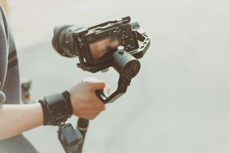
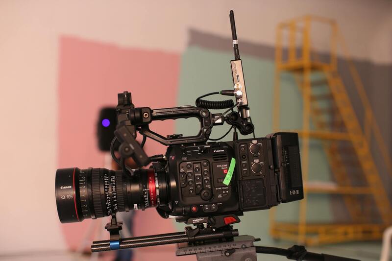
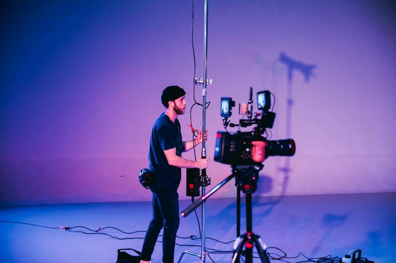
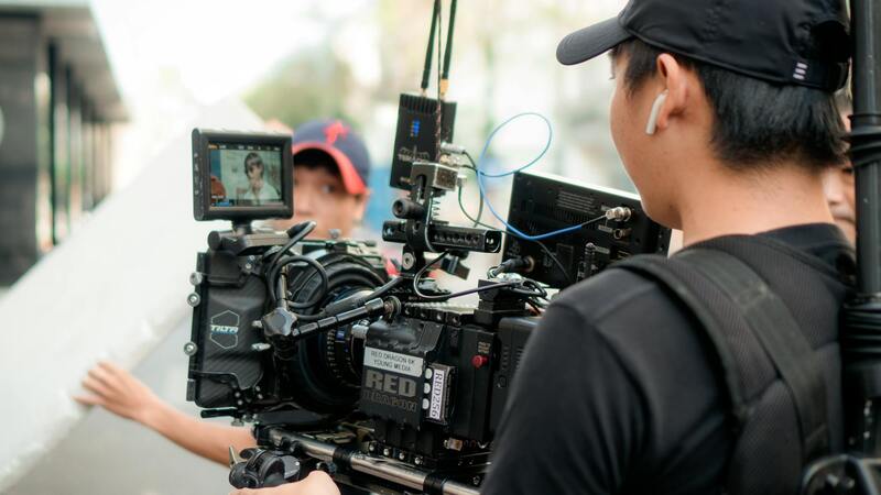
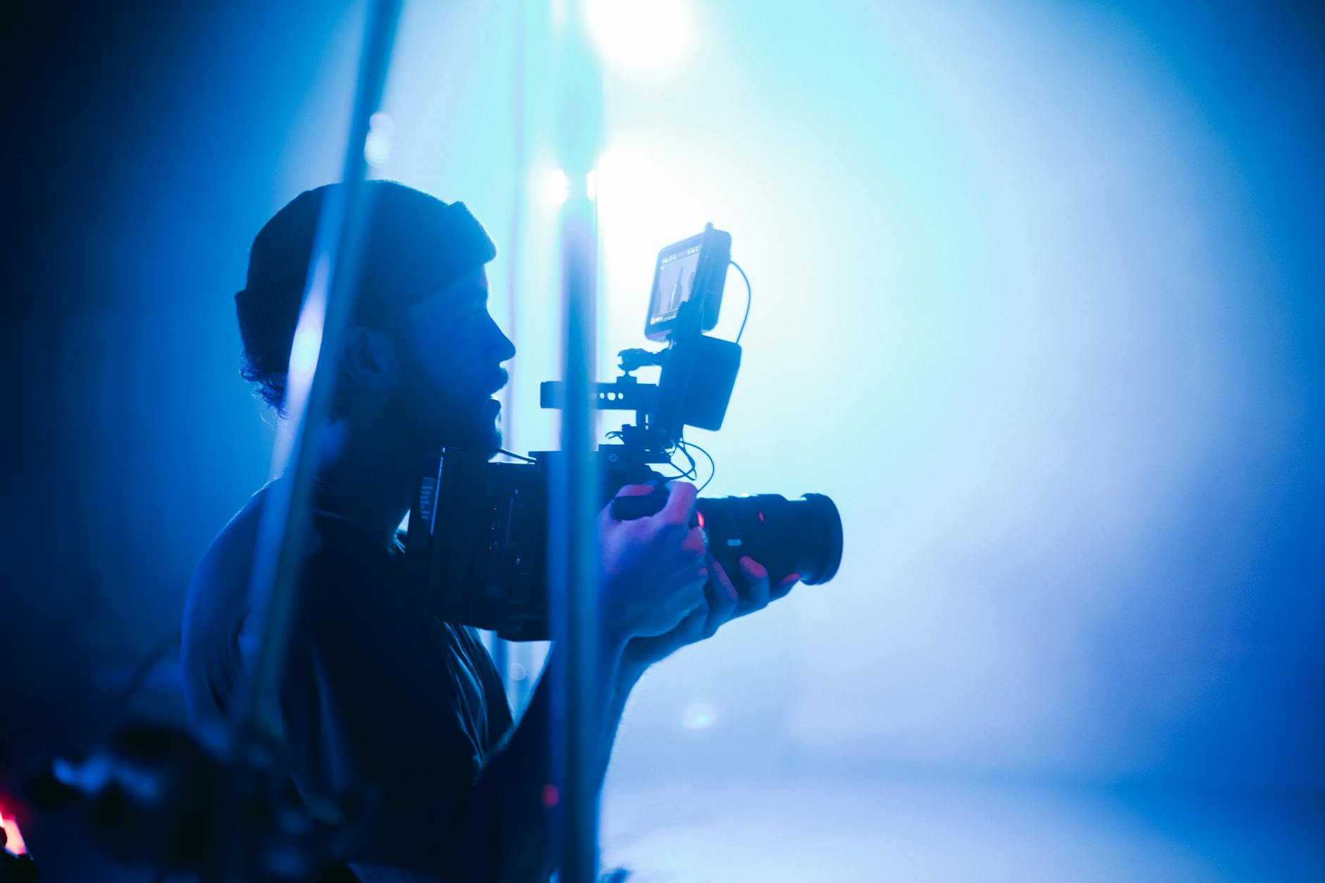
Achieving outstanding aerial images of residential properties in Miami requires specialized equipment that combines durability, stability, and high-resolution capabilities. The core of effective drone house photography lies in selecting the right drone platform, camera system, and supplementary accessories that facilitate professional-grade imagery and flight performance.
Popular drone models for real estate imagery feature multi-rotor configurations engaged in stable hovering and precise maneuvering, essential for capturing comprehensive property views. These platforms often incorporate obstacle avoidance sensors, GPS-based flight modes, and fail-safe features that ensure safe operation within designated flight parameters.
The camera component is equally vital. High-resolution sensors capable of capturing 4K imagery at a minimum provide clear, detailed visuals that highlight a property's best features. Consider drones fitted with gimbal stabilization systems that eliminate motion blur and maintain consistent framing, even in windy or turbulent conditions.
Additional accessories such as extra batteries, propeller guards, and remote controllers enhance operational efficiency and safety. For instance, having multiple batteries allows extended flight sessions to capture comprehensive footage without delays, while protective guards help prevent damage during close-quarters maneuvers.
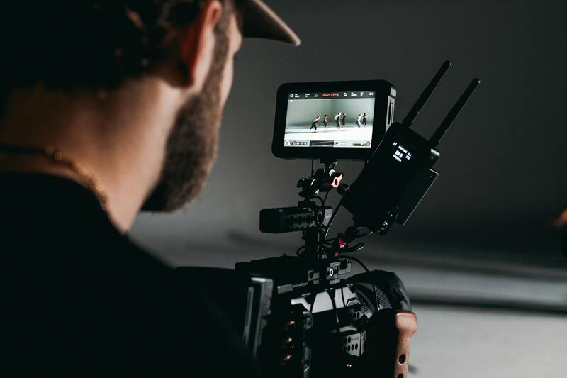
Software tools for flight planning and image processing also play an integral role. Advanced mapping and 3D modeling software enable precise planning of flight paths, ensuring complete property coverage. Post-flight, professional editing software enhances images with color correction, HDR processing, and perspective adjustments to produce compelling visual presentations.
Keeping equipment calibrated and up-to-date with firmware updates ensures optimal performance and safety compliance during flights. The right blend of technological sophistication and reliable hardware is crucial in delivering high-definition, impactful visuals of Miami’s residential properties.
Essential Methods for Authentic Drone House Photography in Miami
When undertaking drone house photography, it is crucial to employ officially recognized techniques and tools that ensure the highest quality results. Proper planning begins with comprehensive flight preparation, which involves detailed site assessments and pre-flight mapping to establish optimal flight paths. Utilizing professional-grade drones equipped with high-resolution sensors and gimbal stabilization technology allows capturing crisp, detailed images and videos from various angles and altitudes.
The selection of appropriate camera settings plays a pivotal role. High dynamic range (HDR) imaging through real-time adjustments captures the full spectrum of lighting conditions, preserving details in both shadows and highlights. Ensuring consistent exposure, focus, and framing during flight sequences is fundamental to producing uniform, professional imagery.
For effective coverage, multiple passes at different heights and angles should be scheduled to highlight the property's full scope. These include aerial shots of the roof, landscaping, exterior facades, and surrounding amenities. Employing automated flight planning software helps execute these complex sequences accurately and efficiently, reducing human error.
Post-flight processing is a critical component in authentic drone house photography. Utilizing professional editing software, photographers can enhance color accuracy, adjust contrast, and correct perspective distortions. These enhancements ensure the final visuals are compelling, true to life, and tailored for marketing needs.
The ability to adapt dynamically during the shoot is also essential. Weather conditions, wind speed, and natural lighting fluctuate, requiring operators to be flexible and ready to modify flight plans accordingly. Maintaining onboard equipment calibration and regularly updating firmware ensures safety and performance, reinforcing a commitment to operational integrity.
Advanced Positioning and Flight Path Strategies
Effective drone house photography in Miami hinges on meticulous planning of flight paths and positioning. Precise flight path design ensures comprehensive coverage of the property’s exterior and surroundings, allowing for seamless stitching of images and videos. Utilization of GPS waypoint navigation systems enables consistent, repeatable flight routes, which is crucial for creating comparative visuals over time or for multi-angle filming in a single session.
Employing automated flight planning software allows operators to predefine specific waypoints, altitudes, and camera angles, minimizing manual intervention and reducing the risk of missed shots or repetitive passes. This precision is vital for capturing detailed aspects of the property, such as architectural features, landscaping textures, and neighboring scenic elements.
Optimal positioning begins with setting the correct flight altitude tailored to the property's size and desired footage. Lower altitudes reveal fine architectural details and landscaping nuances, while higher elevations provide sweeping panoramic views that contextualize the house within its environment. Combining these perspectives through sequential passes produces a layered visual narrative, emphasizing property features and surrounding amenities.
Adjusting camera angles during flight—such as tilting for roof shots, wide-angle for foundation views, and nadir for immediate grounds—adds depth and variety to the footage. Employing gimbal stabilization technology ensures smooth, distortion-free visuals, even in windy conditions. Consistent calibration of sensors and camera settings before each flight maintains image quality and color fidelity across shoots.
Capturing the Surrounding Environment
In addition to focusing on the house itself, capturing the surrounding neighborhood or natural landscapes plays a significant role in drone house photography. Strategic positioning allows for picturesque shots of nearby parks, lakes, or city skylines, enhancing the property's appeal and providing contextual relevance for potential buyers or clients.
- Size and orientation of the property determine optimal flight altitudes and angles.
- Multiple passes at different times of day offer varied lighting and shadow play, adding visual interest.
- Utilizing intelligent flight modes such as orbit or fixed-point hovering can highlight unique property features dynamically.
Incorporating these advanced positioning techniques ensures the imagery not only accurately portrays the property but also maximizes its visual impact for marketing and promotional purposes.
Techniques for Effective Drone House Photography
Achieving stunning and informative aerial images of residential properties requires the application of precise and professional drone photography techniques. As the visual presentation can significantly influence buyer perception and marketing effectiveness, mastery of these methods ensures the delivery of high-quality content that stands out in competitive real estate markets like Miami.
Optimal Flight Planning and Camera Angles
Before initiating a drone flight, meticulous planning is essential. This involves assessing the property's layout, identifying key features such as architectural details, landscaping, and nearby attractions. Planning flight paths that encompass multiple perspectives allows for comprehensive coverage of the property.
During flight, adjusting camera angles strategically enhances the visual narrative. For instance, tilting the camera downward provides detailed roof and upper façade views, while level or slightly elevated angles can showcase the property's footprint and surrounding environment. Incorporating varying altitudes and angles offers depth and diversity in the footage, which can be compelling when compiled into promotional media.
Lighting and Time-of-Day Considerations
Lighting dramatically influences image quality. Conducting flights during different times of the day, such as golden hour in early morning or late afternoon, provides warm, inviting tones and long shadows that add depth to images. Midday flights can highlight the property's architectural lines through sharper and more contrasting shadow patterns, ideal for emphasizing structural features.
Stabilization and Smooth Capture
Employing gimbal stabilization technology is fundamental to producing smooth, distortion-free footage. Modern drones equipped with three-axis gimbals compensate for drone movement and wind, ensuring stable shots regardless of environmental conditions. Consistent calibration of camera sensors and settings before each flight guarantees uniform quality, particularly important when capturing multiple angles or creating a cohesive video narrative.
Advanced Flight Modes and Dynamic Techniques
Utilizing intelligent flight modes such as orbit, waypoint, or fixed-point hover allows for dynamic and engaging imagery. Orbit mode, for instance, circles around the property, showcasing its entirety in a captivating manner. Fixed-point hovering enables detailed shots from specific viewpoints, emphasizing unique architectural elements.
Multiple passes at different times and altitudes not only provide various visual perspectives but also highlight the property's features under different lighting conditions and shadow play. Combining these techniques results in a comprehensive visual story that appeals to potential buyers or investors.
Post-Flight Considerations
After capturing footage, it is crucial to review and organize the material to identify the best shots for editing. Ensuring the images are correctly exposed, color-corrected, and stabilized in post-production enhances overall quality. Employing high-resolution editing software allows for fine-tuning and consistent visual presentation across marketing platforms.

Advanced Techniques for Capturing Stunning Drone House Imagery
Employing specialized flight paths and camera settings elevates the quality of drone house photography beyond simple aerial shots. By implementing multi-angle approaches, operators can capture the property from various perspectives, ensuring a comprehensive visual presentation. This includes strategic altitude adjustments to reveal details at different scales, from sweeping panoramic views to close-up architectural features.
Furthermore, utilizing precise camera parameters is essential. Adjustments in shutter speed, ISO, and aperture optimize image clarity and exposure under different lighting conditions. For instance, shooting during the golden hour provides warm, inviting tones that enhance the property's appeal. Consistent camera calibration before each flight guarantees uniformity, which is vital for creating cohesive video content or image sets.
Incorporating automated flight planning software allows for meticulous route mapping, ensuring comprehensive coverage with minimal overlap and efficient battery use. These tools facilitate pre-programmed routes that include predefined altitude, speed, and camera angles, producing consistent results across multiple sessions.
Utilizing Environmental Conditions Effectively
Understanding weather patterns and their impact on drone operation is critical. Wind speeds, cloud cover, and light conditions influence flight safety and image quality. Planning flights during optimal weather windows minimizes disturbances and maximizes visual clarity. Overcast days, for instance, soften shadows and create evenly lit images, which are desirable for property showcases. Conversely, shooting on clear, sunny days accentuates landscaping and exterior details, drawing attention to the property’s features.
Implementing Post-Processing to Maximize Impact
Post-production plays a vital role in enhancing raw drone footage. Color grading adjusts tones for consistency, while stabilization tools correct minor jitters caused by wind or drone movement. High-resolution editing software enables the refinement of images and video sequences, emphasizing key architectural elements or landscapes. The addition of professional titles, smooth transitions, and background music further elevates the overall presentation, making the content more engaging for prospective buyers.
Moreover, generating 3D models from overlapping imagery and creating virtual tours can significantly advance marketing efforts. These advanced visualizations allow viewers to explore the property interactively, providing a comprehensive understanding of spatial relationships and layout. Integrating drone footage into virtual tours offers a dynamic experience that captures the attention of potential clients and investors alike.
Applications of Drone House Photography in Real Estate
Drone house photography has transformed real estate marketing by providing highly detailed and immersive visual content that captures a property from multiple perspectives. Utilizing aerial shots offers potential buyers a comprehensive view of the property's exterior, landscaping, surrounding neighborhood, and unique architectural features. This broad overview elevates property listings by offering clarity and depth that traditional photography cannot achieve, leading to faster sales and higher engagement levels.
Agents and property owners increasingly rely on drone footage to showcase large estate grounds, waterfront properties, or homes with elaborate outdoor amenities such as pools, gardens, or custom landscaping. High-quality drone images coupled with videos can effectively demonstrate spatial dimensions, highlight property positioning, and illustrate the property's proximity to essential amenities like parks, schools, and transportation routes.

Furthermore, drone footage is instrumental in creating compelling virtual tours, providing an interactive experience that allows prospective buyers to navigate around the property remotely. Incorporating aerial shots into virtual walkthroughs makes it easier to visualize how a home fits into its environment and benefits from key features such as panoramic views or waterfront access. These immersive experiences serve to distinguish listings in competitive markets and appeal to buyers who prioritize a comprehensive understanding of the property remotely.
Choosing a Miami Production Agency for Drone Photography
When selecting a professional drone photography service in Miami, it's crucial to evaluate their expertise, equipment, and portfolio. Experienced agencies possess a thorough understanding of local regulations and possess the right licenses and permits to operate drones responsibly, ensuring seamless and compliant workflows. They also utilize high-grade UAVs equipped with advanced stabilization systems, high-definition cameras, and versatile lenses to capture sharp, vibrant images and videos in various lighting and weather conditions.
Collaborating with a seasoned agency guarantees a tailored approach that aligns with your marketing objectives. The agency's portfolio serves as a testament to their technical capabilities and artistic vision, providing confidence that your property will be presented with the highest professional standards. Furthermore, an agency committed to safety and quality ensures the final visual content not only impresses but also adheres to best practices for operational excellence.