Advantages of Using Drone Photography for Houses
In the highly competitive real estate market, the quality and presentation of property visuals can significantly influence a buyer’s decision. Drone photography has emerged as a powerful tool to elevate property marketing efforts, offering a perspective that traditional ground-based images often cannot achieve. High-resolution drone images capture expansive aerial views of residential properties, enabling potential buyers to see the full scope of the estate, landscaping, and surrounding neighborhood. The ability to showcase a property from above provides a distinctive vantage point, highlighting features such as the layout of outdoor spaces, proximity to amenities, and overall property size.
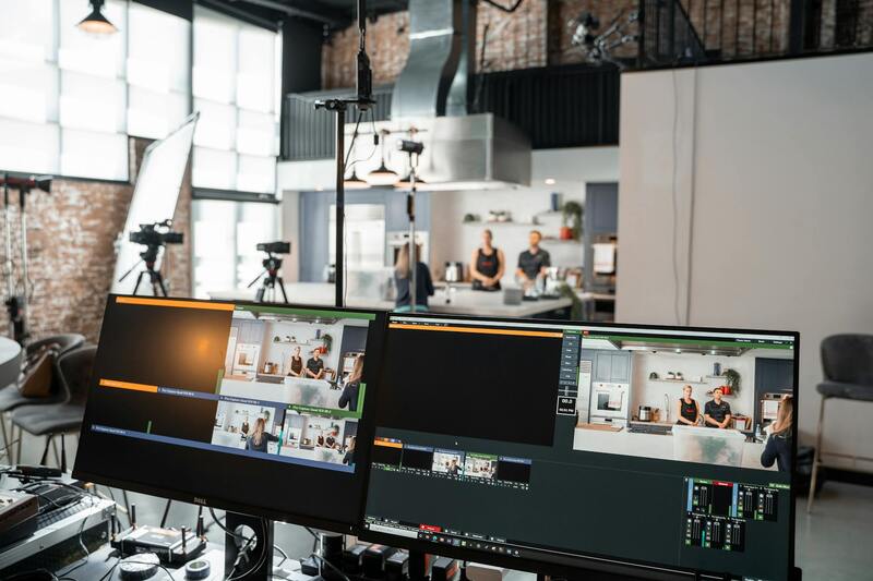
Professionally captured drone imagery enhances the property’s visual appeal by delivering crisp, high-definition visuals that stand out in listings and marketing materials. These images can be utilized across multiple channels including online listings, brochures, and social media campaigns, ensuring consistent and compelling messaging. Furthermore, aerial shots can reveal details such as architectural nuances and property boundaries, giving viewers a complete understanding of the property's features.
- Allows for dramatic, eye-catching visuals that differentiate listings
- Highlights property features and spatial relationships
- Provides an immersive experience for prospective buyers
- Enables comprehensive views of landscapes and neighborhood context
- Improves engagement rates through visually appealing content
Incorporating drone images into real estate marketing strategies not only attracts more interest but also reduces the time a property remains on the market. The ability to present a property’s full potential through striking aerial imagery results in increased inquiries and faster sales cycles. For estate agents and homeowners alike, adopting drone photography ensures that their listings remain competitive and visually compelling, ultimately leading to a broader reach and higher likelihood of closing deals successfully.
Legal and Regulatory Considerations in Miami
When capturing drone pictures of houses within Miami, understanding and adhering to local regulations is crucial to ensure smooth execution of aerial photography projects. Miami’s drone operation guidelines focus on maintaining safety, respecting privacy, and complying with airspace restrictions. These rules typically govern aspects such as flight altitude, proximity to airports, and the necessity for specific permits when flying in certain areas. Obtaining the appropriate permissions often involves registering your drone with the Federal Aviation Administration (FAA), which applies universally across the United States, including Miami, and working closely with municipal authorities when required.
Specific to Miami, there are designated zones where drone flight may be restricted or require special authorization, particularly in densely populated neighborhoods, parks, or near government facilities. Identifying these zones beforehand minimizes the risk of violations and ensures that aerial captures proceed without interruptions. Additionally, Florida’s privacy regulations emphasize the importance of avoiding intrusive filming that could infringe on individuals' rights, especially in residential areas where homeowners have a vested interest in their privacy.
To maintain compliance, drone operators should conduct thorough pre-flight planning, including checking current airspace restrictions and securing any necessary permits. Implementing safety protocols, such as visual line-of-sight operation and avoiding flight over crowds or private property without consent, further ensures responsible drone usage. Certified drone pilots often have a better grasp of these legal nuances and are equipped to handle permit applications and comply with evolving regulations effortlessly. Leveraging the services of a professional drone operator with local experience in Miami enhances the quality of aerial images while maintaining adherence to all relevant guidelines.

Official Methods for Capturing Drone Pictures of Houses in Miami
To obtain high-quality drone images of residential properties in Miami, professionals employ authorized techniques that adhere to established aerial photography standards. These methods utilize industry-grade equipment combined with thorough planning to ensure consistent results while respecting privacy and safety protocols.
Professional drone operators typically start with detailed flight planning, which involves assessing the property layout, neighboring structures, and surrounding environment. Utilizing pre-flight checklists ensures that all equipment is functioning correctly, and flight paths are optimized for capturing comprehensive views from various angles. Such planning minimizes risks and guarantees that images meet high standards of clarity and detail.
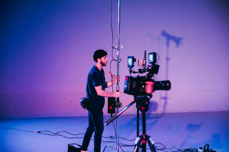
High-end drone equipment equipped with 4K or higher resolution cameras is essential for producing sharp images with vibrant colors and high dynamic range. Many of these devices feature gimbals that stabilize the camera during flight, preventing motion blur and ensuring consistent framing regardless of wind conditions.
Additionally, technical settings such as ISO, shutter speed, aperture, and color profiles should be optimized for outdoor daylight conditions. Photographers often employ RAW format to retain maximum image data, allowing for extensive post-shoot editing while preserving the original quality.
Incorporating precise flight altitude and distance parameters enables the creation of images that highlight architectural features, landscaping, and property boundaries effectively. These considerations are vital when aiming for a consistent portfolio of house images that appeal to prospective buyers or serve marketing needs.
Using professional-grade software for flight control and geotagging can also facilitate the organization and management of captured images, streamlining the editing and submission process. Such structured approaches ensure that the drone pictures of houses are both compelling and compliant with local standards.
Legal and Regulatory Considerations in Miami
When employing drone photography to capture images of residential properties in Miami, it is crucial to adhere to established operational guidelines that govern drone usage in urban and suburban environments. While the focus remains on utilizing official channels and methods, awareness of specific restrictions helps ensure efficient and compliant aerial photography sessions.
Drone operators should establish clear flight plans that respect privacy boundaries and avoid capturing images of private spaces without permission. Maintaining safe distances from neighboring properties and public spaces minimizes potential disruptions and aligns with local standards. It is also important to be aware of designated no-fly zones such as near airports, government buildings, and critical infrastructure to prevent unintentional violations.
Miami's diverse urban landscape requires operators to stay updated on temporary flight restrictions, especially during special events or construction periods that may impact approved flight areas. Moreover, drone flights should be conducted during daylight hours with good weather conditions, ensuring optimal visibility and image quality while maintaining safety protocols.
Operators should routinely check for any specific local ordinances or city regulations that could influence drone activities. This includes understanding altitude limits, restrictions on flying over crowds or private events, and guidelines for maintaining safe distances from structures and individuals. By proactively managing these aspects, professionals can avoid potential complications and deliver high-quality drone images effectively.
Ultimately, employing official and reputable methods for drone operations—such as using authorized drone controllers, obtaining necessary permissions when required, and following best practices for flight safety—ensures the production of compelling house images that meet professional standards and client expectations.
Best Drone Equipment and Camera Settings for House Photography
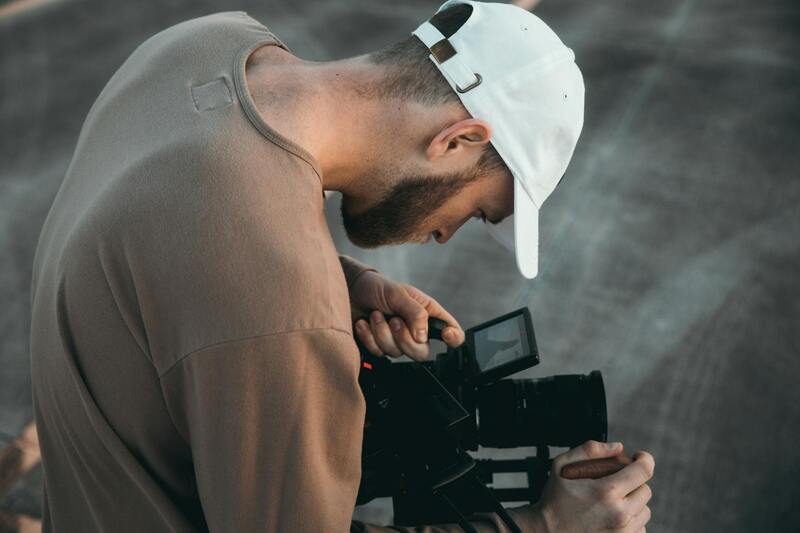
Achieving striking drone images of houses hinges on selecting the right equipment and optimizing camera settings during flight. High-quality drones equipped with advanced stabilization systems ensure clear, sharp images even in challenging conditions. Modern drones often feature 4K or higher resolution cameras, which are essential for capturing detailed property views from aerial perspectives. When choosing a drone for house photography, it’s beneficial to focus on models with adjustable camera angles, powerful GPS for precise positioning, and obstacle avoidance technology to facilitate safe operation around structures.
Customizing camera settings is equally critical. Shooting in RAW format allows for greater flexibility during post-production, enabling enhancements in exposure, white balance, and color correction without sacrificing image quality. Utilization of appropriate shutter speeds prevents motion blur, especially when shooting on windy days or when drones are in motion. Adjusting ISO settings to lower values minimizes noise, ensuring crisp images. For optimal lighting conditions, scheduling shoots during the golden hours—shortly after sunrise or before sunset—provides soft, warm light that accentuates architectural details and landscape features.
Including polarized or ND filters further enhances image quality by managing reflections and controlling light exposure, especially when shooting over water features or glass surfaces. Consistently testing and calibrating drone camera settings before undertake shoots ensures smooth operation and high-quality output, reducing the need for extensive post-processing corrections.
Techniques for Capturing High-Quality Aerial Images of Houses
Achieving stunning drone pictures of houses requires a combination of precise flight planning, skilled piloting, and knowledge of optimal camera settings. To maximize the visual appeal of your property photos, start by pre-scouting the location to identify the best angles and lighting conditions. Scheduling shoots during early morning or late afternoon offers softer sunlight that accentuates architectural features and landscape textures. It is important to set your drone’s GPS hold and altitude parameters meticulously to maintain stable flight paths, especially when capturing detailed shots from various perspectives.
When approaching the house for closer shots, ensure a smooth, steady flyover to avoid motion blurriness. Maintaining a consistent altitude helps in creating a seamless series of images that can be stitched into panoramic views or virtual tours. Using autopilot functions and pre-programmed flight paths enhances consistency and safety, reducing the possibility of accidental collisions. Adjust the drone’s camera tilt to include both the roof and yard, providing a comprehensive view that appeals to prospective buyers or clients.
Furthermore, employing the correct camera settings significantly improves the clarity and detail of aerial shots. Shooting in RAW format is highly recommended, as it preserves maximum image data for post-production enhancements. Use a narrow aperture to maintain sharp focus across the entire frame, especially when capturing wide property exteriors. Adjust your ISO to the lowest possible setting to minimize grain, and optimize shutter speed to freeze motion, especially in windy conditions or when capturing fast-moving scenarios.
Incorporating filters can greatly enhance image quality. Polarizing filters help reduce glare from reflective surfaces like windows or water features, creating clearer and more vibrant photos. ND (neutral density) filters control the amount of light entering the camera lens, allowing for balanced exposures during bright daylight conditions. To prevent overexposure and maintain natural colors, monitor the histogram and exposure levels regularly during the shoot.
Practicing these techniques consistently ensures your drone photography of houses captures crisp, vibrant, and engaging images. Proper flight planning combined with technical expertise translates into compelling visuals that effectively showcase residential properties from unique aerial perspectives, creating impactful marketing and presentation materials.
Post-Production Tips for Enhancing Drone Images
After capturing high-quality drone pictures of houses, the next critical step involves post-production editing to maximize visual appeal and ensure the images effectively showcase the property. Proper editing enhances details, corrects color discrepancies, and creates a polished, professional look essential for marketing purposes.
Color Correction and Enhancement
Begin by adjusting the white balance to ensure natural tones, especially for skies and building exteriors. Brighten shadows to reveal architectural features obscured in low light and reduce any excessive highlights that may cause glare or washed-out areas. Vibrance and saturation adjustments can intensify colors, making landscaping and exterior elements more appealing without oversaturation.
Cropping and Composition Refinements
Crop images to optimize framing, ensuring key features such as the entrance, landscaping, or unique architectural details are prominently displayed. Maintain a balanced composition that draws the viewer's eye naturally across the property. Straighten horizons or vertical lines to eliminate distortions caused by drone camera angling.
Sharpening and Noise Reduction
Apply sharpening selectively to enhance architectural lines and details, but avoid over-sharpening which can create unwanted artifacts. Noise reduction becomes crucial when images are shot at higher ISO settings or in shadowed areas, helping to produce smoother, cleaner images suitable for professional presentation.
Utilizing HDR and Blending Techniques
High Dynamic Range (HDR) processing involves capturing multiple exposures to combine into a single image that details both bright skies and shadowed architecture. When merged properly, HDR yields well-balanced scenes that emphasize the house's scale and surroundings, making images more captivating.
Adding Textures and Overlays
Subtle overlay effects or texture enhancements can accentuate specific layers within the image, such as lawn areas or architectural surfaces. These techniques provide depth and dimension, making the images more engaging and visually appealing in marketing materials.
Consistency in Visual Style
Establishing a consistent style throughout your image set helps in creating a cohesive visual narrative for the property. This might include uniform color grading, lighting adjustments, or framing standards that reflect your branding or desired aesthetic.
Final Review and Export Settings
Before finalizing, review all images at full resolution to detect any inconsistencies or minor imperfections. Export images in high-resolution formats suitable for both digital platforms and print materials, ensuring optimal quality retention. Properly optimized images contribute significantly to attracting prospective buyers or clients by presenting properties in the best possible ligh
ght.Post-Production Tips for Enhancing Drone Images
Effective post-production techniques are crucial for transforming raw drone footage and photographs into compelling visual assets that accurately represent a property’s best features. High-quality drone images often require careful editing to enhance clarity, color fidelity, and overall appeal, ensuring they stand out in marketing campaigns or listings.
Begin with thorough image reviews to identify areas that need adjustment. Common edits include sharpening details to improve the crispness of architectural lines and landscape features, as well as reducing noise or graininess that may have resulted from lower-light conditions or higher ISO settings during capture. Adjusting contrast and brightness levels can help in balancing the scene, emphasizing the property's scale and its surroundings effectively.
Color correction is essential to preserving natural hues and ensuring that the images are vibrant, yet realistic. This may involve fine-tuning white balance, saturation, and vibrancy to reflect genuine colors without oversaturation, which can distort perceptions of the property.
Utilizing software tools like Adobe Lightroom or Photoshop allows for adjustments that enhance specific image components. For example, selective editing techniques can draw attention to key areas such as the backyard or unique architectural features, creating focal points that guide viewer interest.
To further improve the visual quality, consider applying perspective correction to rectify any distortion caused by camera angle or lens choice. This ensures that lines such as fences, walls, and windows appear straight and aligned, conveying a professional and polished appearance.
Implementing HDR merging techniques in post-processing can also amplify the dynamic range of your images. This process combines multiple exposures, revealing more detail in shadowed or brightly lit areas, resulting in a well-balanced and highly detailed image that highlights both the property and its surroundings effectively.
Overlay effects and textures can add depth and dimension, making the image more engaging for viewers. Subtle use of these enhancements should complement the property's natural features without overwhelming the overall aesthetic. This technique is particularly useful for emphasizing surface textures such as brickwork, roofing materials, or landscaping features.
Ensuring consistency across a series of images is vital for creating a cohesive visual narrative. Applying a uniform color grading or style preset throughout the set enhances the professional appearance and reinforces the branding of the property listing or marketing campaign.
Finally, export settings play a significant role in maintaining image quality for various platforms. Saving images in high-resolution formats such as TIFF or PNG for print, and optimized JPEG files for online use, ensures that the images retain their clarity and vibrancy across different distribution channels. Properly optimized drone images significantly contribute to attracting prospective buyers by presenting properties in the best possible light.