Overview of Drone Property Photography
Drone property photography has revolutionized the way real estate professionals showcase properties in Miami. Utilizing advanced unmanned aerial vehicles (UAVs), this method captures high-resolution images and videos from elevated perspectives that were previously difficult or impossible to achieve with traditional ground photography. The result is a comprehensive visual presentation that highlights a property's unique features, surroundings, and landscape in a way that attracts potential buyers and investors.
In the competitive Miami real estate market, high-quality visual content plays a crucial role in capturing attention and generating interest. Drone photography offers a dynamic and immersive view of properties, enabling prospective clients to experience the layout, size, and context of a home or commercial space from a bird’s-eye view. This aerial perspective not only enhances the aesthetic appeal but also provides valuable spatial information that can influence purchasing decisions.
From luxury waterfront estates to sprawling commercial developments, drone property photography has become an essential tool for real estate marketing teams looking to differentiate their listings. The ability to produce captivating visuals with minimal disturbance to the property’s daily operations makes drones a versatile asset in Miami's vibrant real estate scene.
This technology not only elevates the quality of marketing materials but also expands the scope of what can be showcased—such as neighborhood amenities, proximity to beaches, parks, and other community features. By leveraging this innovative approach, real estate agents and property owners can ensure their listings stand out in a crowded marketplace, facilitating faster sales and better market positioning.
As drone technology continues to advance, the integration of these images into marketing strategies is becoming more sophisticated, offering potential buyers an engaging and informative experience. Whether used for online listings, virtual tours, or promotional campaigns, drone photography epitomizes the modern evolution of visual storytelling in real estate.
Legal and Regulatory Considerations in Miami
Successfully executing drone property photography within Miami's dynamic real estate market requires adherence to established operational standards that ensure safety, privacy, and responsible usage. Understanding and following these official protocols helps professionals maintain compliance while capturing high-quality aerial imagery that elevates property marketing efforts.
Miami's regulatory environment stipulates specific guidelines for drone operations, particularly for commercial purposes. These include registering the drone with the appropriate authorities, which helps authorities track drone use and ensure accountability. Operators must also adhere to altitude limits, typically not exceeding 400 feet above ground, to avoid interference with manned aircraft and preserve safe airspace management.
Moreover, drone pilots are expected to conduct pre-flight assessments, including inspecting the equipment for safety and ensuring the flight path is clear of obstacles and people not involved in the shoot. This mitigates potential safety risks and minimizes disruptions to surrounding residents and businesses. Establishing a clear flight plan before operations ensures that all shots are taken efficiently and within regulatory boundaries.
Operational permissions related to airspace are also crucial. For example, operators need to be aware of restricted zones such as near airports, heliports, or sensitive government facilities in Miami. Temporary flight restrictions (TFRs) can be issued during special events or emergencies, which must be respected to avoid violations. Using official resources, such as local airspace maps, helps pilots plan missions that are compliant with current restrictions.
In addition to federal regulations, local ordinances may guide drone use in certain neighborhoods or parks. It's important for operators to familiarize themselves with these rules to avoid conflicts and ensure the seamless integration of aerial shots into property marketing materials. Respect for privacy is also paramount; avoiding intrusive hovering or capturing private property without consent helps maintain professional integrity and positive community relationships.

Partnering with licensed drone operators who are well-versed in Miami's regulatory landscape is a reliable way to ensure all legal parameters are met. These professionals are equipped with the latest knowledge and equipment to navigate local rules effectively. They also carry the necessary insurance, further safeguarding property owners and clients during the shoot.
Adhering to these official methods and guidelines not only guarantees legal compliance but also enhances the professionalism and safety of the drone photography process. It enables real estate agents and property owners to showcase their listings with confidence, knowing that their visual marketing assets are produced responsibly and ethically.
Legal and Regulatory Considerations in Miami
In Miami, conducting drone property photography requires adherence to specific procedures designed to ensure safe and compliant operations. Before initiating a drone shoot, it is essential to obtain the appropriate authorizations and permits mandated by local aviation authorities. These permits typically involve submitting detailed plans that outline the scope of the flight, the intended use of aerial imagery, and the operational parameters, including altitude limits and designated flight zones.
Operators must coordinate with Miami's aviation and municipal agencies to verify no-fly zones, temporary flight restrictions, or other geographic considerations that could affect drone activity. These zones are often designated around airports, heliports, and sensitive areas requiring special clearance. Consulting official airspace maps and updates ensures that flight paths are planned in accordance with current restrictions, reducing the risk of disruptions or legal complications.
Additionally, some properties may fall within areas that necessitate specific permissions, especially if they are located near government facilities, protected parks, or residential neighborhoods with community-specific regulations. Securing the necessary permits involves submitting documentation to relevant authorities, demonstrating responsibility and compliance with established guidelines.
Partnerships with licensed drone service providers can streamline this process. These professionals possess a comprehensive understanding of Miami’s regulatory landscape and are experienced in navigating the permit application process efficiently. They also maintain up-to-date knowledge of any temporary flight restrictions or special considerations, ensuring that each project proceeds smoothly without unexpected interruptions.
Ensuring insurance coverage is another critical aspect of official drone operations. Reputable drone service companies typically carry liability insurance that covers potential damages or accidents that could occur during a shoot. This not only fulfills legal obligations but also provides peace of mind for property owners and real estate professionals.
By strictly following these official procedures and leveraging the expertise of certified drone operators, real estate professionals can confidently incorporate stunning aerial imagery into their marketing efforts, knowing all activities are conducted responsibly and in accordance with Miami’s local guidelines.
Key Equipment and Techniques for Effective Drone Photography
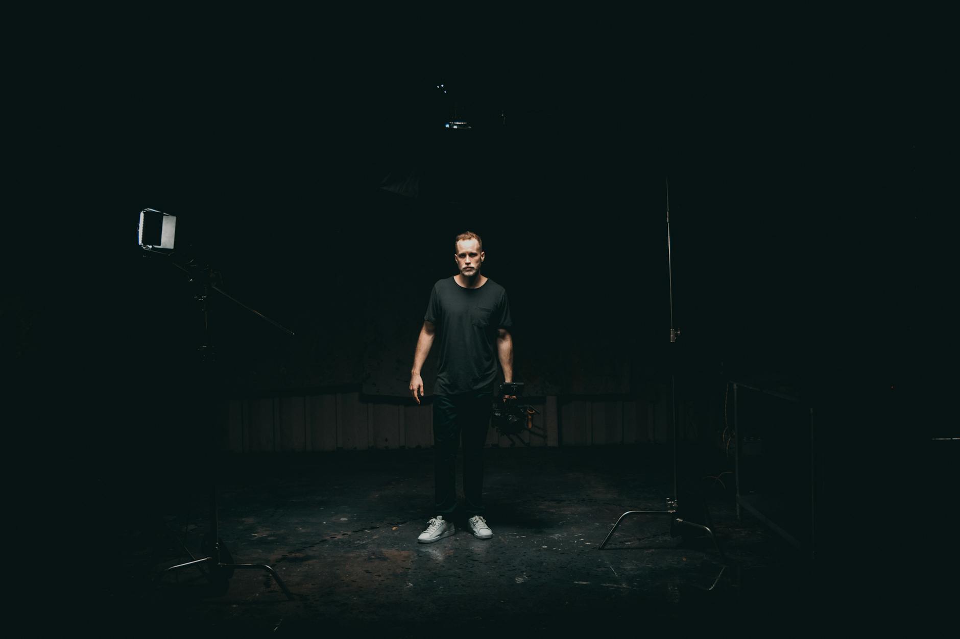
Achieving professional-grade drone property photography in Miami requires a combination of advanced equipment and refined techniques. High-quality aerial imagery not only captures the grandeur of a property but also highlights its most appealing features from an optimal perspective. The selection of suitable drone hardware and photography methods ensures every shot meets the standards expected in real estate marketing.
Essential Drone Hardware
- Professional-grade drone platforms: Drones equipped with stabilized gimbals and high-capacity batteries provide steady, clear footage. Models such as DJI Matrice or Phantom series are popular choices.
- High-resolution camera systems: Cameras capable of capturing 4K or higher resolution images ensure detailed property visuals. Features like wide dynamic range and adjustable aperture enhance image quality in varying lighting conditions.
- GPS and automation features: Advanced GPS modules facilitate precise flight paths, enabling consistent shot framing and automated hover for crisp imagery.
- Long-lasting batteries: Extended flight times allow for comprehensive shoot coverage without frequent battery changes, maximizing efficiency.
Effective Photography Techniques
- Optimal flight planning: Pre-visit the property to identify ideal angles and vantage points. Use mapping tools for efficient flight paths that encompass the entire area.
- Manual camera settings: Adjust ISO, shutter speed, and aperture for the best exposure, particularly in challenging light conditions or during sunrise and sunset.
- Golden hour filming: Schedule shoots during early morning or late afternoon to achieve warm, soft lighting that enhances the property's appearance.
- Multi-angle shots: Capture images from various elevations and perspectives, including close-ups of key features and expansive aerial views to provide comprehensive property coverage.
- Post-flight inspections: Review footage on-site to ensure coverage quality and retake shots if necessary, avoiding the need for additional flights later.
Utilizing the right equipment with refined techniques results in high-resolution images that effectively showcase Miami properties, attracting potential buyers and enhancing online listings.
Legal and Regulatory Considerations in Miami
Understanding the regulatory landscape surrounding drone property photography is essential for professionals operating within Miami. Adherence to established rules ensures smooth execution of aerial shoots while maintaining high standards of safety and privacy. For drone operators, this involves complying with regulations set forth by local authorities and relevant agencies, which include proper authorization for commercial drone use. It is crucial to obtain the necessary permits and clearances prior to conducting aerial photography to avoid disruptions or penalties.
Miami's specific guidelines emphasize flight restrictions within certain zones, such as proximity to airports, heliports, and other sensitive areas. Operators should be aware of temporary flight restrictions (TFRs) that may be active during major events or security operations, which can impact scheduled shoots. Additionally, authorities often require drone pilots to hold appropriate certifications or licenses, demonstrating their proficiency and adherence to safety standards.
Operational best practices include respecting privacy boundaries by avoiding footage of private property without consent, especially in densely populated areas. Maintaining line-of-sight during flights, adhering to altitude limits, and implementing situational awareness are vital components of responsible drone operation. Prior planning and coordination with local authorities or property owners can facilitate seamless shoot execution, minimizing risks and ensuring that aerial imagery collection aligns with established protocols.
Key Equipment and Techniques for Effective Drone Photography
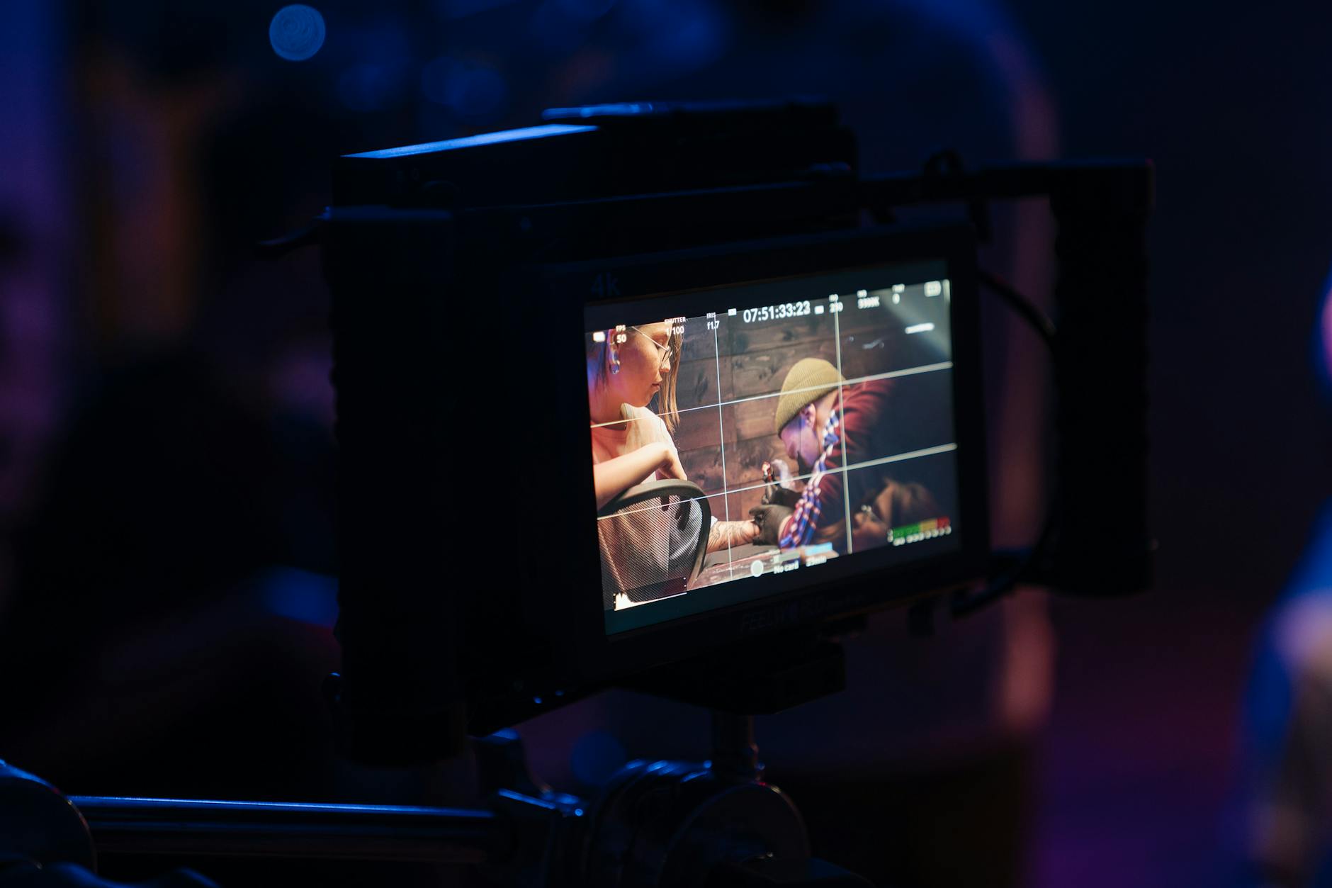
Achieving high-quality drone property images requires a combination of the right equipment and skilled techniques. The cornerstone of successful aerial photography is selecting a drone that offers stable flight characteristics, high-resolution camera capabilities, and advanced stabilization systems. Modern drones equipped with 4K or higher resolution cameras enable capturing crisp, detailed images that highlight a property's most attractive features.
To ensure optimal image quality, it’s essential to understand the significance of camera settings. Adjusting parameters such as ISO, shutter speed, and aperture can help in capturing well-exposed images under varying lighting conditions. Utilizing automated flight modes, like waypoint navigation and orbit modes, allows for consistent imaging angles and comprehensive coverage of the property.
Furthermore, employing proper flight angles and altitudes maximizes the visual appeal. Aerial shots taken from a slightly higher perspective showcase the property's layout, landscaping, and surrounding environment effectively. Utilizing a variety of shot compositions—such as top-down views, oblique angles, and panoramic panoramas—provides potential buyers with a holistic understanding of the property's scale and features.
Post-flight, employing lens filters like polarizers can reduce glare and reflections, resulting in clearer images with vibrant colors. Applying precise lighting adjustments during editing enhances the overall visual impact without artificial manipulation, maintaining authenticity. Consistently using high-quality capture techniques combined with meticulous post-processing ensures the images produced are persuasive and compelling.
Key Equipment and Techniques for Effective Drone Photography
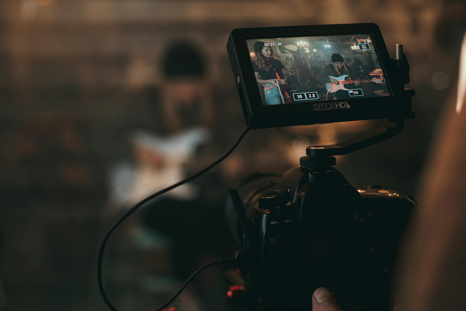
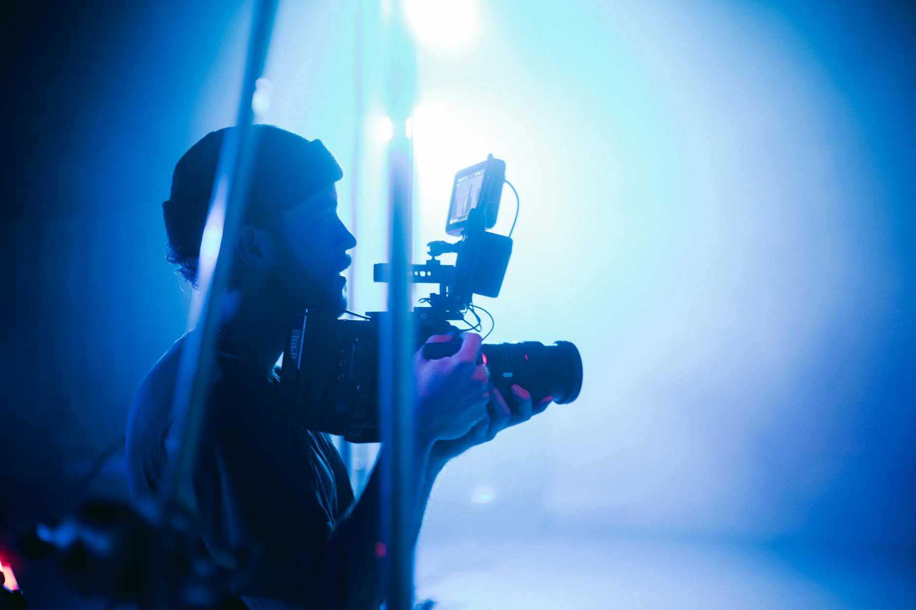
Achieving high-quality drone property photography hinges on selecting the right equipment and employing precise techniques. The core equipment includes a UAV (unmanned aerial vehicle) equipped with a high-resolution camera capable of capturing detailed images and videos. Modern drones often feature gimbals, which stabilize cameras during flight, resulting in sharper images and smoother footage. For properties in Miami, opting for drones with GPS capabilities ensures accurate positioning and stable flight paths, essential for consistent, professional results.
In addition to drone hardware, several accessories enhance photography outcomes. Filters like polarizers help reduce reflections from windows and water surfaces, revealing the true colors and details of building exteriors and landscaping. Extra batteries and portable chargers enable extended flying sessions, vital for capturing comprehensive coverage of larger properties.NV-compatible controllers allow for precise maneuvering, especially when intricate shot compositions are desired.
Techniques for Optimized Drone Imaging
- Pre-Flight Planning: Conduct thorough site surveys to identify optimal flight paths, shot angles, and lighting conditions. Detailed planning minimizes flight time and increases safety.
- Flight Stability: Utilize drones with advanced stabilization systems and GPS-assisted flight modes. Smooth, steady footage enhances the professional quality of the visuals.
- Camera Settings: Adjust resolution to 4K or higher, and set appropriate ISO and shutter speeds to match lighting conditions. Manual control over exposure ensures images are neither underexposed nor washed out.
- Flight Angles: Implement a variety of perspectives—top-down, oblique, and panoramic shots—to offer a comprehensive view of the property’s layout, features, and surroundings.
- Altitude Control: Maintain consistent altitude to preserve scale and perspective, avoiding distortion of property dimensions.
Post-Flight Processing
After capturing the images, meticulous editing is crucial. Raw images should be processed using professional software to enhance color accuracy, contrast, and sharpness. Techniques such as perspective correction and cropping help refine composition and focus on key features.
Furthermore, combining multiple images through stitching creates stunning panoramic views, adding depth and context to property presentations. When executed correctly, these enhancements deliver compelling visuals that effectively showcase Miami real estate to prospective buyers.
Effective Use of Drone Property Photography in Real Estate Marketing
Integrating drone property photography into property marketing efforts requires a strategic approach that aligns with the overall promotional objectives. High-quality aerial images and videos can significantly elevate a property’s perceived value and attract a broader audience. To achieve this, real estate professionals should focus on collaborating with experienced drone operators who understand the nuances of the Miami market, local site features, and the specifics of capturing compelling visuals that highlight a property’s unique selling points.
Crafting a Visual Narrative that Connects
The objective of drone imagery within property marketing is to tell a story that resonates with prospective buyers. This involves selecting shots that showcase the property's best features, from expansive aerial shots revealing property size and layout to close-ups that highlight architectural details. Effective composition, proper framing, and consistent lighting are crucial. Incorporating seasonal elements or showcasing nearby amenities can also enhance visual appeal, providing context and emphasizing lifestyle benefits.
Optimizing Visual Content for Different Platforms
Tailoring drone footage for various marketing channels maximizes reach and engagement. For instance, short, dynamic clips work well on social media platforms to generate interest quickly, while comprehensive virtual tours can be hosted on property websites or listing portals. Ensuring that images and videos are optimized for quick loading without sacrificing quality helps reach a wider audience across devices and internet speeds, fostering better user experience.
Measuring Impact and Adjusting Strategies
Tracking engagement metrics, such as views, shares, and inquiries, provides insights into the effectiveness of drone property photography within a broader marketing strategy. Analyzing these data points allows real estate professionals to refine their visual content, experiment with different angles or styles, and adapt to current market trends. Continuous improvement in visual storytelling ensures that drone photography remains a powerful tool for showcasing properties and closing deals efficiently.