Overview of Drone Realty Photography
Drone realty photography has revolutionized the way properties are showcased in the real estate industry, particularly in vibrant markets like Miami, FL. This specialized approach utilizes unmanned aerial vehicles (UAVs) equipped with high-resolution cameras to capture stunning aerial images and videos of properties. Such visuals offer potential buyers a comprehensive view of the property’s layout, surroundings, and unique features that traditional ground-based photography cannot effectively portray.
The primary purpose of drone realty photography is to elevate property listings by providing dynamic, high-quality visuals that attract more attention online. In a competitive market like Miami, where luxurious waterfront estates, expansive commercial spaces, and urban condos dominate the skyline, aerial imagery helps listings stand out. These images give potential buyers a sense of scale, neighborhood context, and the proximity to local amenities, ultimately aiding in faster and more informed decision-making.
Additionally, drone photography allows real estate agents and marketers to highlight features such as sprawling gardens, swimming pools, surrounding landscapes, and nearby infrastructural advantages. This technique is particularly effective in Miami, a city known for its scenic coastlines and luxurious properties, where aerial perspectives can capture the full essence and allure of a property. Consequently, drone realty photography not only boosts visibility of listings but also enhances the overall marketing strategy, resulting in increased buyer interest and faster sales cycles.
With the technological advancements making high-quality drone imagery more accessible, real estate professionals are increasingly integrating this method into their marketing portfolios. The captivating visuals serve to tell a compelling story about each property, engaging potential buyers on a visual level that static ground photos often cannot achieve. As a result, listing photos become more engaging, leading to greater online engagement, higher inquiry rates, and ultimately, better sales performance.

Essential Equipment and Technology for Drone Realty Photography
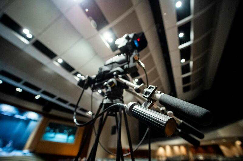
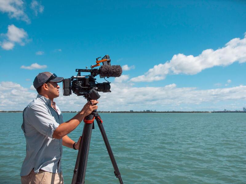
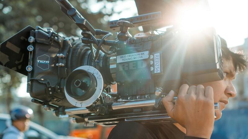
Achieving high-quality drone realty photography requires the right combination of advanced equipment and cutting-edge technology. The selection of a drone platform is fundamental to capturing crisp, vibrant images that effectively showcase each property’s unique features. Professional-grade drones tailored for real estate often come equipped with high-resolution cameras capable of shooting in 4K or higher, ensuring detailed and sharp visuals. These cameras typically include gimbal stabilization systems, which eliminate vibrations and ensure smooth footage and images even in windy conditions.
In addition to drone hardware, the importance of supplementary accessories cannot be overstated. High-capacity lithium-polymer batteries provide longer flight times, enabling more comprehensive coverage of each property without frequent battery swaps. Filters such as ND filters can be used to control light exposure, ensuring optimal image quality in varying lighting conditions. Moreover, remote controllers with integrated displays or compatible smartphones facilitate precise control and real-time framing adjustments.
Modern drone technology also includes intelligent flight modes and automation features that streamline the capturing process. Automated flight plans can be programmed in advance, allowing photographers to cover extensive areas efficiently and systematically. Advanced obstacle avoidance systems enhance safety, especially when operating in constrained spaces or near structures. Additionally, software tools for image stitching and processing facilitate the creation of comprehensive aerial panoramas or 3D models.
Post-flight editing tools are equally important for elevating the final product. Professional editing software allows for color correction, exposure adjustments, and the removal of unwanted elements, resulting in visually stunning images that align with the property's branding. The integration of high-quality equipment, reliable accessories, and intelligent software ensures that each shot maximizes the property’s visual appeal and marketing potential.
Legal and Regulatory Considerations in Miami
When utilizing drone realty photography to showcase properties in Miami, understanding the infrastructure surrounding aerial operations is crucial for ensuring smooth and compliant service delivery. Miami has specific protocols and procedural requirements that professional drone operators must adhere to, including registration processes for unmanned aerial systems and adherence to designated flight zones. These regulations serve to safeguard airspace integrity and public safety, especially in densely populated areas where residential, commercial, and recreational airspaces intersect.
Operators should familiarize themselves with the Miami-Dade County policies regarding drone operations. This includes obtaining necessary permissions for flying over private properties or within certain proximity zones near airports and helipads. Certain city districts may enforce additional restrictions or require permits for commercial drone use, particularly when capturing images for marketing purposes in high-profile neighborhoods or during specific times of the day.
To maintain compliance, drone pilots in Miami often coordinate with local authorities and utilize official flight planning tools that incorporate no-fly zones and weather considerations. Conducting pre-flight risk assessments and establishing communication channels with property owners beforehand are fundamental steps in professional executions. These practices not only ensure legal adherence but also boost client confidence by demonstrating a commitment to responsible and safe aerial photography.
Furthermore, choosing operators who are certified and experienced in Miami’s operational environment can significantly reduce unforeseen complications. Certification programs typically involve rigorous testing of technical knowledge, regulatory understanding, and flight proficiency, ensuring that the drone crew is well-equipped to handle various situations tactfully and efficiently.
In summary, navigating Miami’s specific operational landscape with awareness of local statutes, permits, and best practices is essential for leveraging drone realty photography effectively. Professional drone service providers who prioritize adherence to established standards contribute greatly to the success and credibility of real estate marketing endeavors, ensuring that each project complies seamlessly with regional protocols and serves clients’ best interests.
Methods to Ensure High-Quality Drone Realty Photography in Miami
Achieving exceptional drone realty photography requires more than just flying a drone overhead. It involves a combination of strategic planning, mastery of technical skills, and meticulous attention to detail to produce visuals that truly capture the essence of a property. For real estate professionals and property owners aiming to elevate their marketing efforts in Miami, understanding and implementing legitimate photography techniques can markedly improve property presentation and attract more potential buyers.
Optimal Flight Planning and Timing
One fundamental aspect of professional drone realty photography involves careful flight planning. This includes selecting the right time of day to capture images, which enhances lighting conditions and adds aesthetic appeal. Early morning and late afternoon, often referred to as the golden hours, provide naturally diffused sunlight that avoids harsh shadows, resulting in softer, more inviting visuals of properties. Conversely, midday flights might cause overexposed imagery and unflattering shadow casts, which are less appealing in marketing materials.
Additionally, pre-mission planning involves reviewing Miami’s weather forecasts to ensure clear skies and stable wind conditions, which are essential for stable drone operation. Using detailed mapping tools and utilizing Miami’s official no-fly zone maps help in planning flight paths that optimize coverage without infringing on restricted areas, especially near sensitive sites or densely populated districts.
Technical Camera Settings and Composition Techniques
Maximizing the quality of drone imagery hinges on precise camera settings and composition. Shooting in high-resolution modes ensures crisp details and flexibility in post-processing. Adjusting ISO, aperture, and shutter speed based on ambient light minimizes noise and motion blur, capturing clear and vibrant images. In bright Miami environments, proper exposure is crucial to retain details in both shadows and highlights.
Composition-wise, adhering to principles such as the rule of thirds and leading lines guides viewers’ eyes naturally across the property’s key features. Incorporating various angles and elevations provides comprehensive views, showcasing the property's landscape, architectural details, and surrounding amenities. When shooting aerials, maintaining steady drone operation and minimizing motion artifacts through precise control enhances the professionalism of the final images.
Utilizing Advanced Post-Processing Techniques
Post-processing plays a vital role in refining drone images. Techniques such as color correction, sky enhancement, and sharpness adjustments help achieve a polished look that appeals to prospective buyers. Ensuring accurate color reproduction is especially important in Miami’s vibrant settings, where lush greenery and colorful landscapes are prominent.
Employing specialized software enables real estate marketers to stitch together panoramic images or generate 3D virtual tours, offering immersive experiences for remote viewers. These professional enhancements not only highlight the property’s best aspects but also distinguish listings in competitive markets.
Implementing Practical Flight Operations
Apart from camera work, the execution of the flight itself must follow structured operational protocols. Comprehensive pre-flight checklists verify drone condition, battery levels, GPS signal integrity, and payload security, ensuring safe and efficient flights. During operation, maintaining a clear line of sight, adhering to altitude limits, and avoiding obstacles are paramount to safeguard the equipment and surroundings.
Furthermore, documenting and reviewing each flight ensures adherence to safety procedures and provides a record for future reference. Skilled operators trained in Miami’s unique environment can adapt swiftly to changing conditions, maintaining high standards of safety and imagery quality. This professionalism ultimately results in captivating visuals that enhance property listings and bolster market competitiveness.
Equipment and Technology Used in Drone Photography
The foundation of high-quality drone realty photography in Miami relies heavily on advanced equipment and cutting-edge technology. Professional-grade drones equipped with high-resolution cameras are essential for capturing detailed, vibrant images that accurately depict the property's features and surroundings. Modern drones often incorporate stabilized gimbal systems, ensuring smooth footage and sharp images even in windy conditions typical of Miami’s coastal climate.
Sensor quality plays a vital role in the effectiveness of aerial property photography. Cameras with larger sensors and adjustable apertures enable better performance in various lighting conditions, from bright sunlit exteriors to shaded interiors. High dynamic range (HDR) capabilities further improve image quality by balancing exposure levels, showcasing both the property and the scenic landscapes in clear detail.
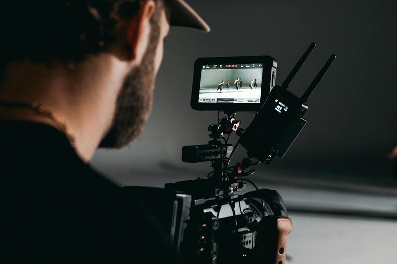
Beyond the drone itself, ground control stations equipped with real-time image transmission are used to monitor flight progress and composition. This setup allows operators to make immediate adjustments to angles, altitude, and camera settings, ensuring optimal shot quality. Additionally, software tools for flight planning and waypoint navigation enable precise control over flight paths, which results in comprehensive coverage of the property and its environs.
Utilizing the appropriate equipment extends beyond aerial shots. For near-ground shots, professional-grade lenses and cameras with macro capabilities can be employed to capture stunning interior and detail shots. The integration of thermal imaging sensors also allows the visualization of energy efficiency and structural integrity, providing additional value to prospective buyers.
In terms of post-flight technology, professional editing software plays a crucial role. Programs like Adobe Photoshop and Lightroom enable real estate photographers to perform color grading, noise reduction, and perspective corrections, ensuring each image aligns with the desired marketing strategy. The combination of advanced hardware and software tools guarantees a high standard of visual presentation for Miami’s competitive real estate market.
Equipment and Technology Used in Drone Photography
The foundation of high-quality drone realty photography in Miami relies heavily on the use of advanced equipment and cutting-edge technology. Professional drone operators utilize a range of sophisticated aerial platforms, often equipped with high-resolution cameras capable of capturing detailed images and videos from various altitudes. These drones typically feature stable gimbal systems that ensure smooth footage, allowing for clear, professional-quality shots of properties.
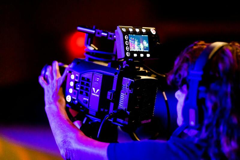
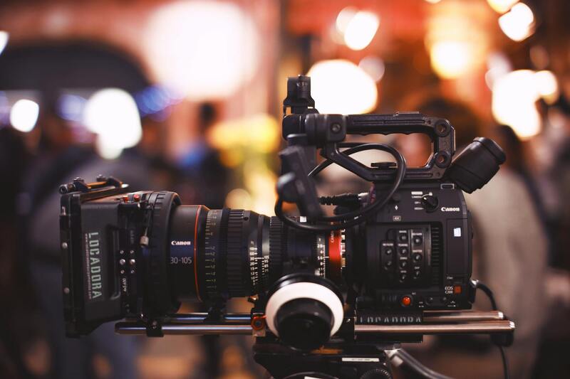
Camera selection is crucial; high-end drones are fitted with DSLR or mirrorless camera systems, offering superior image clarity, color fidelity, and dynamic range. Many operators also incorporate lenses specifically chosen for real estate photography, such as wide-angle or ultra-wide-angle lenses, which help showcase the entire property and its surroundings effectively. The integration of adjustable ISO, shutter speed, and aperture settings further enhances image capture under varied Miami lighting conditions.
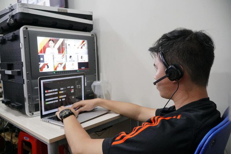
Beyond the drone itself, ground control stations equipped with real-time display monitors and transmission systems enable operators to monitor and adjust shots mid-flight. This technology ensures optimal angles and compositions while maintaining safety standards. Flight planning software—featuring GPS waypoint navigation and virtual flight paths—allows missions to be executed with precision, covering extensive property sites with accuracy. These tools are especially valuable when capturing large estates or properties with complex landscapes.
In addition to the core flying equipment, supplementary accessories like ND filters are utilized to control exposure in situations with intense sunlight common in Miami. Thermal imaging sensors are also gaining popularity for specialized applications, such as structural assessments or energy audits, providing additional layers of information for prospective buyers and sellers alike.
Post-flight, professional-grade editing software becomes essential. Applications such as Adobe Photoshop and Lightroom facilitate enhancements like color correction, perspective adjustments, and noise reduction. These tools ensure that each image meets the high standards expected in luxury Miami real estate markets. The integration of advanced hardware and software capabilities delivers consistent, visually compelling content that elevates property listings and marketing efforts.
Overview of Drone Realty Photography
Drone realty photography has revolutionized the way properties are marketed and showcased in Miami’s competitive real estate market. Utilizing high-resolution aerial imagery allows agents and property owners to present expansive views, revealing the full scope and context of a property including its surrounding landscape, nearby amenities, and unique architectural features. This perspective is especially valuable for large estates, waterfront properties, and developments with intricate landscaping. By capturing images from elevated angles, drone photography offers a comprehensive visual narrative that traditional ground-level photos cannot achieve, thereby attracting more potential buyers and increasing engagement with listings.
Drone photography not only enhances aesthetic appeal but also provides accurate spatial context, helping buyers visualize the property's size, layout, and proximity to key locations. With increasingly advanced camera technology integrated into drones, real estate professionals are able to produce sharp, vibrant images suitable for both online listings and print marketing materials. Additionally, the dynamic nature of aerial videos offers potential clients an immersive experience, giving a virtual tour that showcases the property's attributes from every angle.
Advantages of Drone Imagery in Real Estate Marketing
- Enhanced Visual Appeal: Striking aerial views make listings stand out in a crowded market, capturing attention quickly.
- Showcasing Property Features: Highlight extensive grounds, pools, gardens, and waterfront access more effectively than ground photos.
- Providing Perspective: Assist clients in understanding the scale and relationship of the property to surrounding areas.
- Time and Cost Efficiency: Generate comprehensive imagery swiftly, reducing the need for multiple ground-level shoots.
- Versatility: Aerial footage can be repurposed for virtual tours, promotional videos, and social media marketing, broadening outreach efforts.
Integrating Drone Photography into Real Estate Listings
Successful integration of drone imagery involves strategic planning to match the unique aspects of each property. High-quality images should be captured during optimal lighting conditions to maximize clarity and color vibrancy—usually during late morning or early evening when the sunlight is softer. It is vital to select appropriate flight paths that encompass key features and provide a comprehensive overview without compromising safety or image quality.
The incorporation of drone photos into a listing requires attention to detail, including accurate geotagging, consistent image style, and compelling storytelling. When combined with traditional photography, drone shots can offer a layered and engaging presentation, giving potential buyers a complete understanding of the property’s appeal. Professional editing also plays a crucial role in fine-tuning images, adjusting exposure, and correcting lens distortions to produce polished visuals that align with premium Miami real estate standards.
By leveraging these strategies, real estate agents and marketers can significantly improve the attractiveness and comprehensiveness of their property presentations, ultimately leading to faster sales and higher sale prices in Miami’s vibrant market. Keeping up with technological advancements and evolving marketing trends ensures that drone realty photography remains a powerful tool in the estate agent’s arsenal, elevating listings beyond what conventional photography can achieve.
Advanced Post-Processing Techniques for Drone Realty Photography
Maximizing the visual impact of drone imagery involves comprehensive post-processing efforts that enhance the overall quality and appeal of real estate visuals. High-resolution raw images captured during drone flights are often subject to adjustments using professional editing software to correct distortions, enhance colors, and improve clarity. Techniques such as exposure correction, contrast enhancement, and color grading are essential to ensure that every shot accurately represents the property and environment.
One notable aspect of post-processing is drone image stitching. This involves combining multiple overlapping shots to create seamless panoramic views or high-resolution composite images. Such approaches are particularly effective in showcasing expansive properties, large land plots, or meticulously designed landscapes, giving prospective buyers a detailed and immersive visual experience.
Video editing also plays a critical role in drone realty presentation. Combining drone footage with dynamic transitions, text overlays, and royalty-free background music results in compelling promotional videos. These videos can be integrated into online listings, social media campaigns, and virtual tours, significantly boosting viewer engagement and interest.
Strategies for Optimizing Drone Shots for Real Estate Marketing
- Highlight Unique Property Features: Use cropping and angle adjustments to emphasize distinctive architectural details or scenic landscapes.
- Consistency in Style: Maintain uniform color grading and editing style across all images to present a cohesive and professional listing.
- Brightness and Contrast: Fine-tune these settings to make images pop while retaining natural appeal, avoiding overly exaggerated effects.
- Lens Corrections: Apply distortion correction algorithms to eliminate perspective distortions common in wide-angle drone images.
- Layer Integration: Combine drone visuals with interior shots or ground-level images for a comprehensive story about each property.
Emerging Trends in Drone Post-Processing in Miami
Advancements in AI-driven editing tools are increasingly automating aspects of drone image enhancement, allowing for faster turnaround times without sacrificing quality. HDR imaging and night-time drone photography are gaining popularity, enabling stunning visuals of properties under various lighting conditions. Additionally, 3D mapping and terrain modeling derived from drone data are expanding the creative possibilities in real estate marketing, offering prospective buyers an interactive understanding of property topography.
Leveraging these sophisticated post-processing techniques can significantly elevate the presentation of Miami's real estate portfolio. Well-edited visuals not only attract greater attention online but also communicate professionalism and a premium standard, aligning with the high expectations of the local market.