Introduction to Drone Photography in Real Estate
In the competitive Miami real estate market, high-quality visual content has become an essential component of effective property marketing. Among the innovative tools transforming property presentations, drone photography stands out as a game-changer. Utilizing unmanned aerial vehicles to capture stunning aerial images and videos provides prospective buyers with a comprehensive view of a property and its surrounding environment.
The strategic incorporation of drone imagery elevates property listings, offering unique perspectives that ground-based photography cannot achieve. From showcasing sprawling estates, waterfront properties, to multi-acre developments, drone photography enables real estate professionals to highlight features, layouts, and scenic landscapes with clarity and professionalism.
Miami's vibrant real estate landscape, characterized by diverse architectural styles and picturesque coastal views, benefits profoundly from aerial imaging. It amplifies the visual impact of listings, attracts a broader audience, and facilitates quicker sales. Additionally, high-resolution drone footage creates dynamic virtual tours, allowing potential buyers to explore properties remotely with immersive detail.
Incorporating drone photography into property marketing involves meticulous planning and execution. Professional drone operators employ specialized equipment and techniques to produce high-quality visuals that meet industry standards. This approach not only enhances the aesthetic appeal but also establishes trust and confidence among prospective buyers, affirming the property's value and appeal.
Furthermore, as technology advances, the role of drone photography in real estate continues to expand, integrating seamlessly with digital marketing strategies. From social media campaigns to virtual open houses, aerial imagery has become an indispensable asset for real estate professionals seeking a competitive edge.
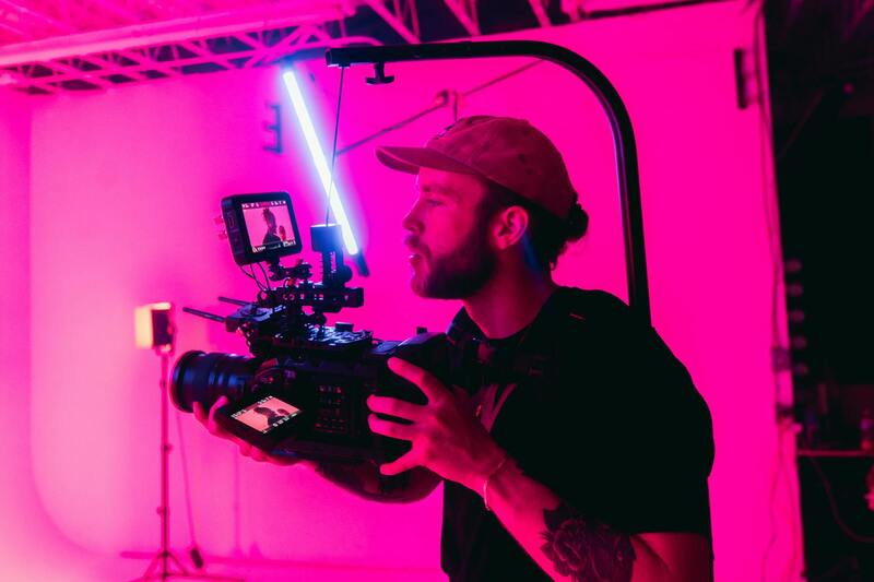
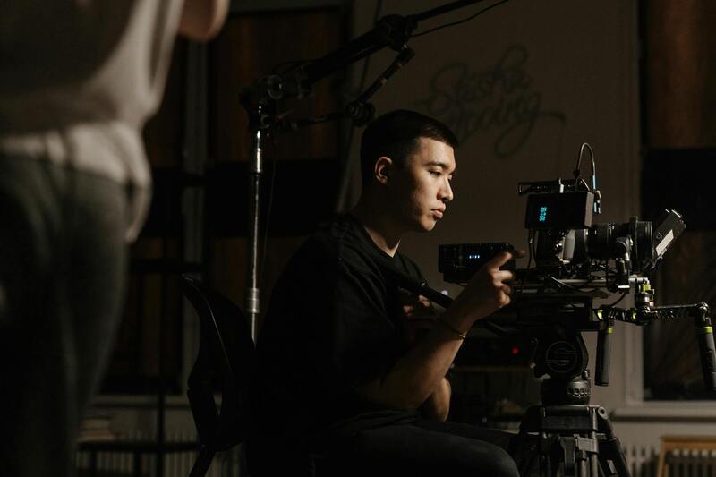
Effective drone photography involves more than just flying a drone; it requires skill, experience, and an understanding of optimal shooting angles, lighting conditions, and videography techniques. When executed proficiently by a professional, drone imagery can articulate a property's story more compellingly, ultimately resulting in increased interest and quicker transactions.
Legal Considerations and Regulations in Miami
Executing professional drone real estate photography in Miami requires adherence to a set of established standards that ensure safe and responsible operation. Professionals in this field follow guidelines set by local authorities, which include provisions for airspace management, altitude restrictions, and privacy considerations. These regulations are designed to create a seamless process for capturing high-quality aerial imagery while respecting the community's interests. Operators are equipped to obtain necessary permits and licenses, which typically involve registering the drone with relevant authorities and adhering to operational guidelines. This structured approach minimizes disruptions during shoots and guarantees that imagery collection aligns with the area's legal framework. Furthermore, professionals conduct comprehensive site assessments prior to each shoot to identify any specific restrictions related to the property's location or surrounding environment. This proactive planning helps in avoiding potential conflicts and ensures a smooth shooting process. In Miami, distinctive neighborhoods and diverse landscapes necessitate localized knowledge to navigate any unique rules or considerations effectively. Seasoned operators stay updated on evolving policies, ensuring each project complies with current standards. Understanding and respecting these regulations supports the production of compelling, compliant aerial visuals that elevate real estate marketing efforts without compromising safety or community standards.
Understanding the Permitting Process for Drone Use in Miami Real Estate
To operate drones for real estate photography in Miami, obtaining the appropriate permits is an essential step. This process involves detailed documentation and compliance with structured procedures designed to facilitate safe and efficient aerial shooting. Professionals typically begin by registering their drone with the Federal Aviation Administration (FAA), which requires providing information about the drone's specifications, intended usage, and operator credentials.
Following registration, operators may need to apply for specific authorizations or waivers if their drone operations involve flying in restricted areas or beyond the standard visual line-of-sight parameters. These applications often include detailed flight plans, safety protocols, and risk assessments to demonstrate responsible operation. Local municipal government agencies or regional authorities may also issue additional permits, particularly if the drone activity involves special aerial maneuvers, night flying, or operating near sensitive sites.
Adhering to these permit requirements ensures compliance with official standards and provides a clear framework for lawful drone operation in Miami. Proper adherence also minimizes risk of disruptions during shoots and protects all parties involved, including residents and property owners.
Airspace Management and Safety Protocols
Effective airspace management is crucial for drone operations, especially in busy urban environments like Miami. Professionals use advanced navigation and situational awareness tools to monitor airspace at all times, ensuring compliance with altitude restrictions and avoiding conflicts with manned aircraft. These measures include setting safe operational zones, continuously tracking drone location, and maintaining visual contact, which are vital for preserving safety standards.
Pre-flight assessments include reviewing airspace maps and weather conditions to prevent unexpected hazards. Many operators also coordinate with local air traffic control agencies for real-time updates or special clearances in restricted zones. These responsible practices uphold not only the safety of the drone crew but also the overall security of the surrounding community.
Implementing Privacy and Community Considerations
Respecting privacy is a core aspect of professional drone real estate photography. Experts ensure that images are captured from appropriate distances and angles, avoiding intrusive shots that could disturb residents or violate personal privacy. This includes conducting reconnaissance of the property to identify sensitive areas and adjusting flight paths accordingly.
Community engagement and awareness also play a vital role. Operators often inform property owners and neighbors about scheduled flights, ensuring transparency and minimizing concerns. This proactive communication helps foster trust and maintains a positive relationship with the local community, aligning the use of aerial imagery with community standards and expectations.
Choosing the Right Equipment and Technology for Optimal Results
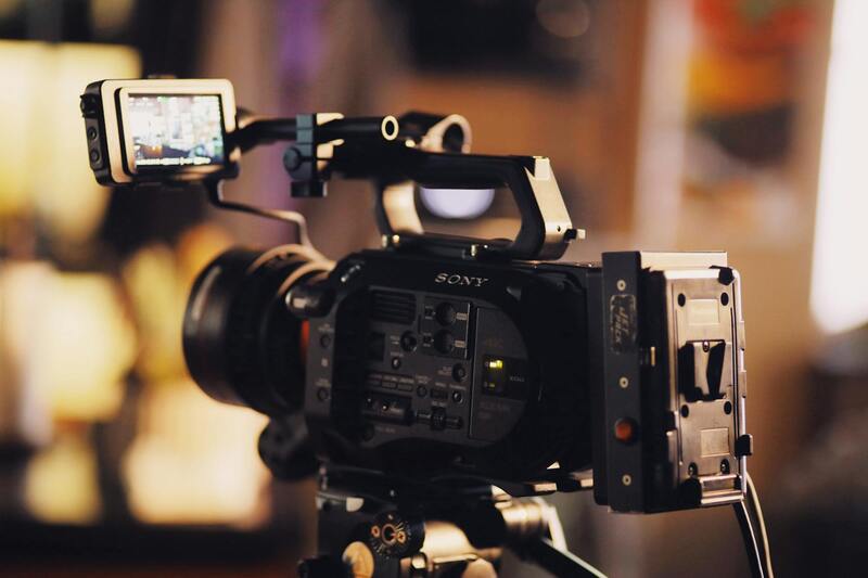
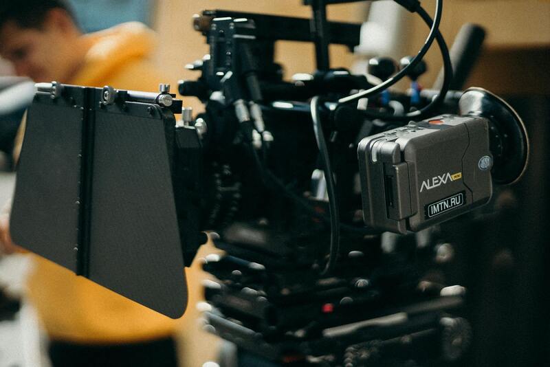
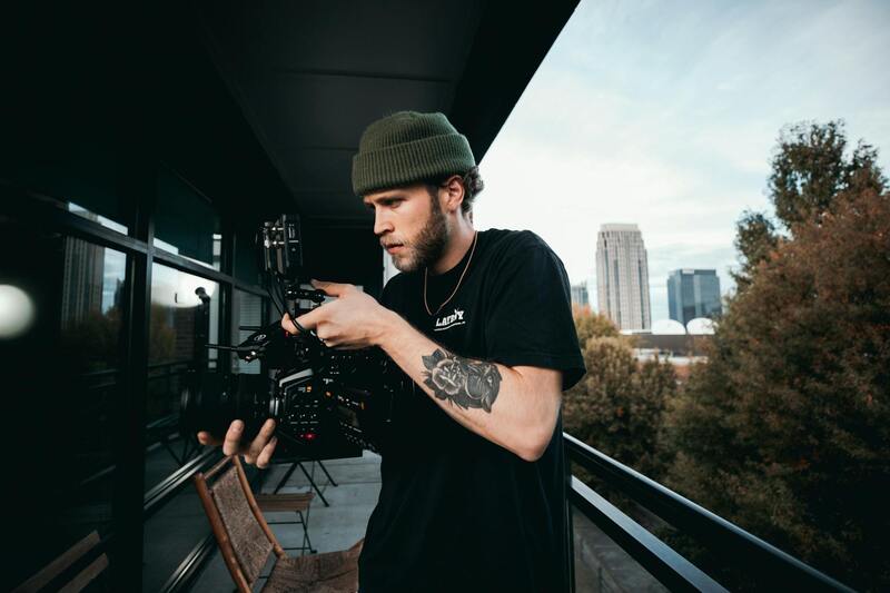
To achieve high-quality aerial imagery that captures the unique features of Miami’s diverse real estate properties, selecting the right equipment is essential. Professionals in drone real estate photography typically utilize advanced UAVs equipped with high-resolution cameras capable of producing detailed images and smooth, cinematic videos. These drones often feature stabilized gimbal systems that ensure crisp imagery even during flight in windy conditions.
The camera types used in professional setups include mirrorless or DSLR-style digital cameras with wide-angle lenses, allowing for expansive views of properties and their surroundings. Higher-end drones may support interchangeable lenses or adjustable settings to adapt to different lighting conditions and property sizes. Additional accessories such as ND filters, external lights, and remote monitoring systems enhance the flexibility and quality of captures.
Furthermore, software integration plays a critical role in executing precise flight paths and capturing complex shots seamlessly. Many operators utilize sophisticated flight planning tools that allow for pre-programmed routes, ensuring comprehensive coverage of the property, including aerial angles that highlight outdoor features, landscaped gardens, swimming pools, and architectural details.
Beyond the drone itself, accessories such as extra batteries, propeller guards, and portable charging stations facilitate extended shooting sessions and ensure safety during operation. These tools collectively contribute to capturing consistent, professional-grade visuals that can significantly elevate a property's market appeal.
Techniques to Maximize the Impact of Drone Shots
Achieving compelling visuals with drone technology involves strategic flight techniques and camera operation skills. Skilled operators plan flight paths meticulously to include a mix of wide-angle shots, close-ups, and sweeping panoramic views that convey the property's scale and aesthetic appeal. Utilizing elevation changes, smooth hover movements, and dynamic angles adds depth and dimension to the footage.
Lighting conditions influence the mood and clarity of aerial imagery. Optimal shooting times are during golden hours—shortly after sunrise or before sunset—when natural light enhances the property's features and minimizes shadow interference. Proper exposure settings and filters help adapt to variable lighting and weather conditions, offering clear, vibrant visuals regardless of environmental changes.
Post-flight review and planning also ensure consistency in branding and presentation. Repeating specific angles or patterns across multiple listings can establish a professional and recognizable style, reinforcing the client's brand identity in Miami’s competitive real estate market.
Utilizing Advanced Flight Planning for Precision Imagery
Implementing detailed flight plans is essential for capturing consistent, high-quality images that showcase a property’s best features. Before executing a shoot, experienced drone operators analyze property layouts and identify key vantage points, ensuring that each flight path maximizes coverage with minimal overlap. Precision in navigation allows for seamless transitions between shots, creating a cohesive visual narrative of the property. Flight planning also involves setting optimal altitudes and angles to highlight architectural nuances and landscape elements effectively. This proactive approach minimizes the need for multiple retakes, saving time and resources while ensuring the final imagery meets professional standards. In complex properties with landscaped gardens or multi-story structures, strategic flight routes help in capturing distinct perspectives that appeal to prospective buyers.
Enhancing Image Quality through Camera Settings and Stabilization
High-quality aerial images demand meticulous adjustment of camera settings, including ISO, shutter speed, and aperture. Skilled drone pilots routinely calibrate these parameters to suit varying lighting conditions, such as bright sunlight or overcast skies, ensuring illumination balance and color accuracy. Stabilization is equally vital for producing sharp, professional footage. Modern drones incorporate gimbal systems that dampen vibrations and maintain steady footage during flight. This stabilization produces smooth, cinematic visuals that accurately represent the property’s true dimensions and appeal. Furthermore, employing filters designed to improve contrast and reduce glare enhances the clarity and vibrancy of images captured during different times of the day.
Strategic Use of Lighting and Timing
Optimal lighting conditions are critical for achieving dramatic, eye-catching visuals. The best times to shoot are typically during the golden hours—shortly after sunrise and before sunset—when the natural light adds warmth and depth. During these periods, shadows are softer, and architectural features are accentuated, resulting in images that evoke emotion and convey the property’s ambiance. Adjusting camera exposure and employing polarizing filters can help manage reflections on glass surfaces or water features. These techniques prevent washed-out appearances and ensure that details remain crisp and prominent. By planning around weather conditions such as clear skies or gentle fog, drone operators can further enhance mood and atmospheric quality, delivering stunning visuals ready for marketing campaigns.
Importance of Consistent Image Style and Branding
Establishing a consistent visual style in drone photography is vital for creating recognizable branding across property listings. Repeating certain angles, lighting setups, and color grading styles helps potential clients associate a specific look with your offerings. This uniformity builds credibility and fosters trust within Miami’s competitive real estate scene. Post-flight reviews and editing processes should focus on maintaining this consistency, with color corrections and framing adjustments aligning with overall branding strategies. Well-edited footage and images not only improve aesthetic appeal but also reinforce the professionalism of your property presentation, making each listing stand out and attract more prospective buyers or investors.
Official Methods for Conducting Drone Photography in Miami
Engaging in professional drone real estate photography necessitates adherence to established procedures designed to ensure the safety and quality of each shoot. The first step involves acquiring proper authorization through the submission of detailed flight plans to relevant authorities. These plans should outline the height, location, and purpose of drone operations, explicitly demonstrating compliance with designated airspace rules.
Certified drone pilots with proven expertise and proven track records are integral to executing high-quality imagery while respecting regulatory boundaries. Such professionals are equipped with both the knowledge and the experience to navigate complex airspace requirements effectively.
Before initiating any flight, thorough site assessments are essential. This includes evaluating potential hazards, assessing local weather conditions, and planning routes that maximize safety and image quality. These precautionary measures help prevent accidents, property damage, and unintended interference with other aerial activities.
In addition, maintaining comprehensive documentation of all drone flights, including flight logs, permission records, and insurance coverage, contributes to operational transparency and accountability. This procedural diligence not only safeguards the interests of all parties involved but also enhances the overall professionalism of the operation.
Using state-of-the-art hardware that complies with the latest standards promotes optimal performance during shoots. Off-the-shelf equipment with certifications for commercial use provides greater stability, image resolution, and safety features. Likewise, software solutions for flight planning and footage editing should be obtained from reputable providers, ensuring compatibility and support.
Clients seeking professional drone real estate photography should prioritize vendors and individuals who can demonstrate their adherence to these official methods. This commitment not only guarantees superior visual results but also solidifies their reputation within Miami's competitive real estate market.
Technical Aspects of Professional Drone Equipment for Real Estate Photography
Utilizing the appropriate drone hardware is fundamental to capturing high-quality real estate visuals that meet industry standards. Commercial-grade drones equipped with stabilization gimbals ensure smooth, cinematic footage, reducing jitters and blurs that can compromise the presentation of a property. Cameras integrated into these drones typically feature high-resolution sensors capable of capturing 4K or higher video, along with high dynamic range (HDR) capabilities that highlight both shadow and highlight details effectively.
In addition, professional drone operators rely on advanced flight controllers and GPS systems that facilitate precise navigation and stable hover capabilities, essential for framing intricate shots of architectural details and surrounding landscapes. These features enable consistent image quality regardless of varying environmental conditions, such as wind or changing light, which are common in outdoor settings.
Battery life remains a key consideration when selecting equipment, as extended operation times allow for comprehensive coverage of property exteriors and aerial angles without frequent power disruptions. Swappable batteries are standard, providing increased flexibility and efficiency during shoots. Furthermore, the integration of obstacle avoidance sensors enhances safety when flying near structures or around complex environments, minimizing the risk of accidents that could result in damage or costly downtime.
Investing in certified and tested hardware ensures compliance with the latest operational standards, bolstering the reliability and professionalism of the service. Certified equipment, paired with appropriate software for pre-flight planning and post-production editing, forms the backbone of delivering premium visual content for real estate marketing in Miami.
Maximizing Safety and Quality in Drone-Based Real Estate Footage
To ensure the highest standards in professional drone real estate photography, employing rigorous safety protocols and precise operational procedures is essential. Meticulous planning of each flight, including comprehensive site assessments and pre-flight checks, minimizes risks associated with aerial operations. This includes verifying weather conditions to prevent turbulence or sudden wind, which could compromise image stability and safety. Additionally, ensuring that drone operators are well-trained and certified is crucial for responsible navigation near property structures and crowded areas.
Advanced flight planning software plays a vital role in establishing safe flight paths. These tools incorporate detailed topographical data, no-fly zones, and obstacle maps to create efficient routes that avoid hazards while capturing optimal imagery. This systematic approach allows for comprehensive coverage of property exteriors, from sprawling lawns to intricate architectural details, while adhering to rigorous safety standards.
Incorporating cutting-edge technology enhances both safety and image quality. For example, drones equipped with obstacle avoidance sensors can automatically detect and navigate around structures, reducing the risk of collision. With GPS-based stabilization and high-precision gyroscopes, drone platforms maintain steady positioning, producing crisp, clear footage even in challenging environmental conditions.
Furthermore, the use of redundant systems, such as backup batteries and dual-navigation modules, ensures continuous operation during critical shoots. This redundancy safeguards against technical failures that could otherwise delay or compromise the project. Maintaining detailed logs of flight operations and adhering to standardized protocols contribute to a consistent, professional level of service.
In practice, integrating these safety and quality measures translates into compelling visual narratives that highlight property features and surrounding landscapes effectively. For real estate professionals, this means possessing striking imagery that captures the essence of a property with precision and clarity, ultimately enriching the marketing process and facilitating quicker sales.