Benefits of Aerial Photography in Real Estate Marketing
In the competitive world of real estate, visual presentation plays a pivotal role in capturing potential buyers' attention and accelerating the sales process. Aerial photography has emerged as an invaluable tool for estate agents, transforming standard property images into compelling visual stories that highlight unique features and neighborhood context. High-quality aerial images offer a comprehensive view of a property’s exterior, surrounding landscape, and geographical advantages, which traditional ground-level photos often fail to convey effectively.
Incorporating aerial shots into property listings can substantially enhance the appeal of a property, making it stand out in online platforms and marketing materials. Such images provide potential buyers with a clear understanding of the property's scale, outdoor amenities, and proximity to essential local amenities such as parks, schools, and transportation hubs. This broader perspective can accelerate the decision-making process, attracting more interested parties and increasing the likelihood of quicker sales.
Moreover, aerial photography can significantly improve marketing strategies by allowing estate agents to showcase developments, large estates, and properties with extensive land plots more efficiently. It enables a detailed presentation of land configurations and unique architectural features, helping buyers visualize living in the property even before visiting the site. High-resolution aerial images also create a sense of transparency and trustworthiness, reinforcing the professionalism of the estate agency.
Ultimately, the integration of aerial photography into real estate marketing elevates the overall presentation, broadens marketing reach, and fosters quicker, more informed purchasing decisions. This approach aligns with the growing digital landscape where high-quality visual content is essential for successful property sales.
Legal and Regulatory Considerations
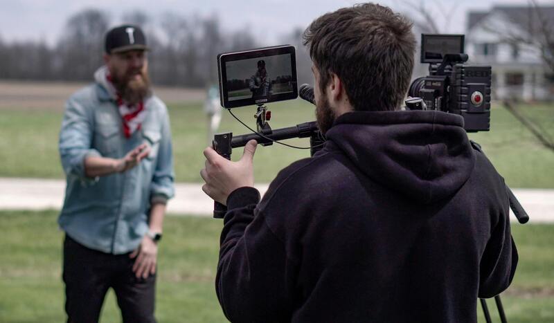
When utilizing aerial imagery for estate marketing, it is crucial to adhere to the established protocols that govern the operation of aerial devices for commercial purposes. These standards are designed to ensure safety, privacy, and responsible use of airspace. Estate agents and aerial photographers must familiarize themselves with the scope of airspace management and operational guidelines set forth by relevant aviation authorities. Compliance typically involves obtaining the necessary permissions, adhering to designated flight altitudes, and respecting the privacy of neighboring properties.
In this context, planning flight paths that avoid cluttered or sensitive areas is essential to maintain a professional image. Moreover, maintaining detailed records of flight operations, including dates, times, and locations, supports transparency and accountability. These practices not only demonstrate a commitment to responsible aerial photography but also help in coordinating efforts with local authorities or organizations when required.
Technical preparations are equally important. Ensuring that the drone equipment is properly maintained and calibrated can prevent technical failures that might compromise image quality or safety. Conducting pre-flight risk assessments for each shoot contributes to smooth operations, reducing disruptions and enhancing the overall quality of the visual content produced.
Understanding and respecting these operational guidelines is fundamental for estate agents seeking to leverage aerial photography for marketing. By working with licensed professional drone operators who are well-versed in the established standards, estate agents can harness the benefits of aerial imagery while upholding high professional standards and fostering trust with clients.
Types of Aerial Shots for Properties
To maximize the visual appeal and marketing effectiveness of aerial photography for estate agents, capturing a diverse range of shots is essential. Each type of shot offers unique perspectives that highlight different aspects of a property, its surroundings, and its features. Implementing a strategic combination of these shots can significantly enhance online listings and promotional materials.
- Wide Landscape Shots: These images encompass the entire property and its immediate environment, providing viewers with a comprehensive overview. Wide shots are excellent for showcasing the property's size, layout, and proximity to nearby amenities or natural features. They also help establish context, giving potential buyers a sense of the neighborhood.
- Detail Close-ups: Focused shots that highlight specific features such as landscaped gardens, unique architectural elements, swimming pools, or outdoor entertainment areas. These images are ideal for emphasizing high-value features that contribute to the property's appeal.
- Elevational Angles: Elevated shots from various angles capture the property's roof, facade, and structural design. These views assist prospective buyers in assessing the building's condition and architectural style, offering a richer understanding of the property.
- Driveway and Entryway Views: Capturing the entrance and driveway gradients can showcase the accessibility and curb appeal, which are critical factors in a buyer's first impression.
- Aerial Floor Plans: Combining aerial views with digital annotations can create virtual tours or floor plans that give a detailed layout of interior spaces, aiding buyers in visualizing the property's flow and dimensions.
The strategic deployment of these various types of aerial photographs allows estate agents to craft compelling narratives around the property. When integrated effectively with ground-level images and virtual tours, these aerial perspectives can dramatically increase online engagement and attract a broader pool of potential buyers.
Ensuring Compliance with Aerial Photography Standards
Adhering to established guidelines for aerial photography involves comprehensive planning and responsible execution to ensure high-quality imagery while respecting airspace considerations. Professional drone operators utilize advanced technology that maintains operational consistency and safety, often following industry best practices. This includes pre-flight planning to identify appropriate flight corridors, monitoring weather conditions, and ensuring proper altitude controls to capture the desired shots without interference.
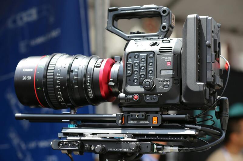
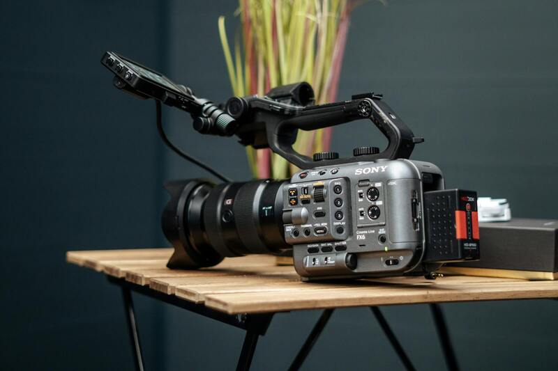
Utilizing high-resolution cameras equipped with stabilizers and various lens options enables the creation of sharp, detailed images that accurately reflect the property's scale and features. Operators also deploy precise GPS controls and calibrated flight paths to ensure consistency across shoots, which is vital for creating cohesive marketing materials.
Modern unmanned aerial systems (UAS) are designed with multiple safety features, including obstacle avoidance sensors and automatic return-to-home functions. These capabilities aid in maintaining safe operations, especially around complex or densely populated areas. Moreover, integrating real-time flight tracking software helps manage multiple shoots efficiently, minimizing disruptions and ensuring adherence to predefined flight paths.
Before executing a shoot, detailed site surveys are often conducted to identify potential hazards or restrictions, such as proximity to airports, airports’ temporary flight restrictions, or private property boundaries. This proactive approach not only preserves safety but also aligns with operational guidelines that govern aerial photography activities.
- Scheduling flights during optimal weather conditions, such as low wind and clear skies, to ensure image clarity.
- Using calibrated equipment capable of capturing images in various lighting conditions to highlight property features effectively.
- Engaging licensed operators with a thorough understanding of local airspace regulations and property-specific considerations.
Technical excellence combined with procedural discipline ensures aerial photography delivers compelling visuals that meet professional standards, thereby augmenting real estate listings with impactful, trustworthy imagery.
Legal and Regulatory Considerations
Executing aerial photography for estate agents requires adherence to established operational arrangements that promote safe and responsible drone use. Operators must maintain comprehensive understanding and emphasis on the techniques guiding drone flights, which include meticulous pre-flight planning, in-flight safety protocols, and post-flight review procedures. These standardized procedures ensure that all aerial shoots are conducted with precision, minimizing risks associated with flight operations over private or sensitive properties.
Pre-flight planning begins with an exhaustive assessment of the site. This includes analyzing the property layout, nearby structures, and potential flight obstacles. Geographic and infrastructural factors are scrutinized to identify the best approach to capture high-quality aerial images while avoiding interference with nearby airspace or land features. Utilizing advanced mapping and navigation tools, drone pilots map out optimal flight paths that respect property boundaries and nearby airspace restrictions, creating a clear operational blueprint prior to each shoot.
During the actual flight, operators rely on real-time navigation systems equipped with obstacle detection sensors, enabling precise maneuvering. These systems facilitate the safe execution of complex shots around tall structures, landscape features, or other vantage points. Equally important is the use of automated flight controls that allow for consistent, repeatable shot angles and heights, ensuring uniformity across multiple listings or marketing campaigns. Moreover, real-time flight tracking and telemetry data are monitored throughout each session to promptly address any anomalies or deviations from planned routes, thus safeguarding the integrity of the shoot.
Post-flight procedures involve thorough review and processing of the captured imagery. Data management practices include verifying image quality, geotagging for spatial accuracy, and conducting quality control checks to ensure visual clarity and proper exposure. Preservation of the footage and images aligns with clients’ marketing objectives, providing an authentic and striking visual representation of the property.
Additionally, operators must maintain compliance with airspace management protocols, which include coordinated effort with local authorities or air traffic control when necessary, especially in regions with busy air corridors or special restrictions. These collaborations help streamline operations, ensuring that aerial photography activities are well-integrated within overall airspace management frameworks, thus promoting consistent safety and professional standards across the industry.
Legal and Regulatory Considerations
When integrating aerial photography into estate marketing, adherence to established operational protocols ensures a seamless and professional process. It is essential to work with certified drone operators who understand and implement best practices for flying in various environments and situations. These operators conduct comprehensive pre-flight planning, which includes assessing airspace conditions, reviewing local regulations, and obtaining necessary clearances or permissions to execute shoots effectively. During the flight, operators employ advanced automated control systems that facilitate precise navigation and stability, minimizing risk and capturing high-quality footage. They monitor real-time telemetry data to detect any deviations promptly, allowing for immediate adjustments or halts if safety concerns arise. This level of oversight guarantees that each aerial capture maintains consistency and adheres to industry standards. Post-flight, meticulous review and processing of the images and videos are carried out. This includes verifying the sharpness and exposure, geotagging to authenticate the location, and conducting quality control to ensure clarity and accuracy. These steps are fundamental to preserving the integrity and authenticity of the visuals in line with marketing objectives. Maintaining thorough documentation of flight activities, including flight logs and permission records, further enhances transparency and accountability. Such practices support the professionalism of aerial operations and foster trust with clients and regulatory bodies.
Choosing a Drone Photographer for Real Estate
- Experience and Portfolio: Select professionals with a proven track record in real estate aerial imagery, capable of showcasing diverse property types and environments.
- Technical Skills: Ensure the photographer uses state-of-the-art equipment, including stabilized gimbals, high-resolution cameras, and automated flight controls, to achieve professional results.
- Knowledge of Regulations: Confirm that the operator is well-versed in local airspace rules and complies with all operational standards, guaranteeing smooth and compliant flights.
- Client References: Seek feedback from previous clients to gauge reliability, creativity, and professionalism in delivering projects on time and within scope.
- Service Scope: Clarify whether they provide aerial images, videos, virtual tours, and post-production support to meet your specific marketing needs.
Cost and Time Considerations
Incorporating aerial photography into estate marketing involves careful planning around budget and scheduling constraints. The costs generally encompass equipment rental or ownership, operator fees, post-production editing, and potential permitting expenses. While the initial investment can vary based on property size and location, high-quality imagery can significantly increase marketing effectiveness. Time allocation for drone shoots tends to be efficient, often completed within a timeframe that aligns with the overall property listing schedule. Pre-flight preparations, including site assessments and setup, typically take a short period, while the actual flight duration depends on the complexity of desired shots. Post-production editing ensures the imagery is polished and optimized for marketing platforms. Effective scheduling considers weather conditions, as wind, rain, and lighting can impact the quality of aerial captures. Advance planning with the drone operator helps to mitigate delays, ensuring images are delivered promptly for timely listing updates.
Legal and Regulatory Considerations in Aerial Photography
When deploying aerial photography in real estate marketing, understanding the framework surrounding drone operations is crucial for a seamless experience. Professional drone operators adhere to established protocols that encompass flight permissions, safety standards, and adherence to airspace regulations, all designed to ensure responsible and effective use of aerial technology.
Operators utilize official channels to obtain flight authorizations, which typically involve submitting detailed flight plans to relevant authorities. These plans include information on flight altitude, duration, and geographic boundaries, ensuring flights are conducted within authorized zones andRespect for privacy and property rights is paramount. Precautionary measures are taken to prevent disturbances to neighboring properties and general air traffic.

Additionally, professional operators conduct pre-flight assessments to identify potential obstacles, such as tall structures or restricted zones, and develop contingency plans for varied weather conditions. This thorough approach not only ensures compliance but also enhances the quality of images captured, providing a dependable asset for property marketing.
Employing certified operators who follow established flight protocols reduces the risk of operational disruptions and ensures that all aerial content is produced within shared guidelines, maintaining a smooth flow from shoot to listing update. This meticulous adherence to official procedures underscores the professionalism and reliability that estate agents seek when incorporating aerial imagery into their marketing strategies.
Enhancing Property Marketing Through Expert Aerial Photography
To maximize the benefits of aerial imagery in estate marketing, collaboration with experienced drone operators who utilize official channels for flight planning is crucial. professional aerial photographers employ advanced equipment and adhere to rigorous operational protocols to produce high-quality visuals that align with marketing goals. By opting for seasoned professionals, estate agents can ensure that each aerial shot captures the property’s unique features from optimal angles, highlighting aspects such as expansive grounds, surrounding landscape, and architectural details that might be less apparent in ground-level photos.
Investing in quality aerial visuals not only creates eye-catching listings but also fosters trust with prospective buyers. These high-resolution images can be integrated seamlessly into online property portals, social media campaigns, and virtual tours, providing a comprehensive view that enhances engagement. As aerial photos often serve as the first impression, ensuring they are captured professionally and responsibly becomes a strategic priority for estate agents aiming to stand out in competitive markets.
Best Practices for Selecting the Right Aerial Photography Service
- Verify the operator’s credentials and experience in real estate imagery.
- Ensure the provider follows established flight planning procedures using official channels.
- Review samples of previous work, especially in similar property types.
- Inquire about safety and privacy measures, including how they handle sensitive locations and nearby properties.
- Discuss turnaround times and integration methods for seamless inclusion into marketing materials.
By prioritizing these factors, estate agents can secure aerial photography that not only elevates property presentation but also maintains a professional and compliant approach to aerial imaging.
Utilizing Aerial Content Effectively
Once obtained, aerial images should be strategically incorporated into all stages of the property marketing process. Incorporating high-quality aerial shots in online listings provides potential buyers with a broader perspective, emphasizing spatial relationships and surrounding amenities. These visuals work particularly well in digital brochures, virtual walkthroughs, and social media advertisements, where captivating imagery can significantly increase engagement and inquiries.
Furthermore, aerial photography can be used to craft compelling narratives about proximity to key locations, such as parks, schools, and transport links, thereby enriching the property's story and appeal. When aligned with detailed property descriptions and other media, aerial visuals reinforce the overall marketing message, driving higher interest and faster sales cycles.